Bindjareb-Peel Geo Park Guide
Barragrup Bridge and Mungah
Barragrup Bridge and Mungah holds deep social, cultural, and historical importance for the Nyungar people, as it served as a place for legal, ceremonial, and social gatherings. In addition to its cultural value, the site is also archaeologically important due to its representational qualities and potential for future research. Rather than being a single location, Barragup functioned as a complex of interconnected sites with multiple uses, playing a vital role in the lives of Southwest Nyungar communities.
Accessibility
carparksoft surface path
Activities
bird watchingcanoeing kayakingfishingnature photographywalking
Astrophotography potential
No Astrophotography Potential
Astrophotography grade
None
Facilities
campsitecaravan park
Way finding
No Way Finding Support
Address
Location
Pinjarra Road & Webster Way, Barragup, Perth, Western Australia, 6209, AUS
Indigenous community
Bindjareb People
Land tenure
Shire of Murray
Entry road
Sealed Road (Bi-Directional)
Car park distance (m)
60
Entry fee
No
Infrastructure grade
1
Natural amenity
8
Plumbed infrastructure
No
Visible powerlines
No
Coordinates (lat, lng)
-32.545, 115.766
Site Highlights
You may also want to know...
- Barragrup Bridge and Mungah holds deep social, cultural, and historical importance for the Nyungar people, as it served as a place for legal, ceremonial, and social gatherings.
- In addition to its cultural value, the site is also archaeologically important due to its representational qualities and potential for future research.
- Rather than being a single location, Barragup functioned as a complex of interconnected sites with multiple uses, playing a vital role in the lives of Southwest Nyungar communities.
Biotic features
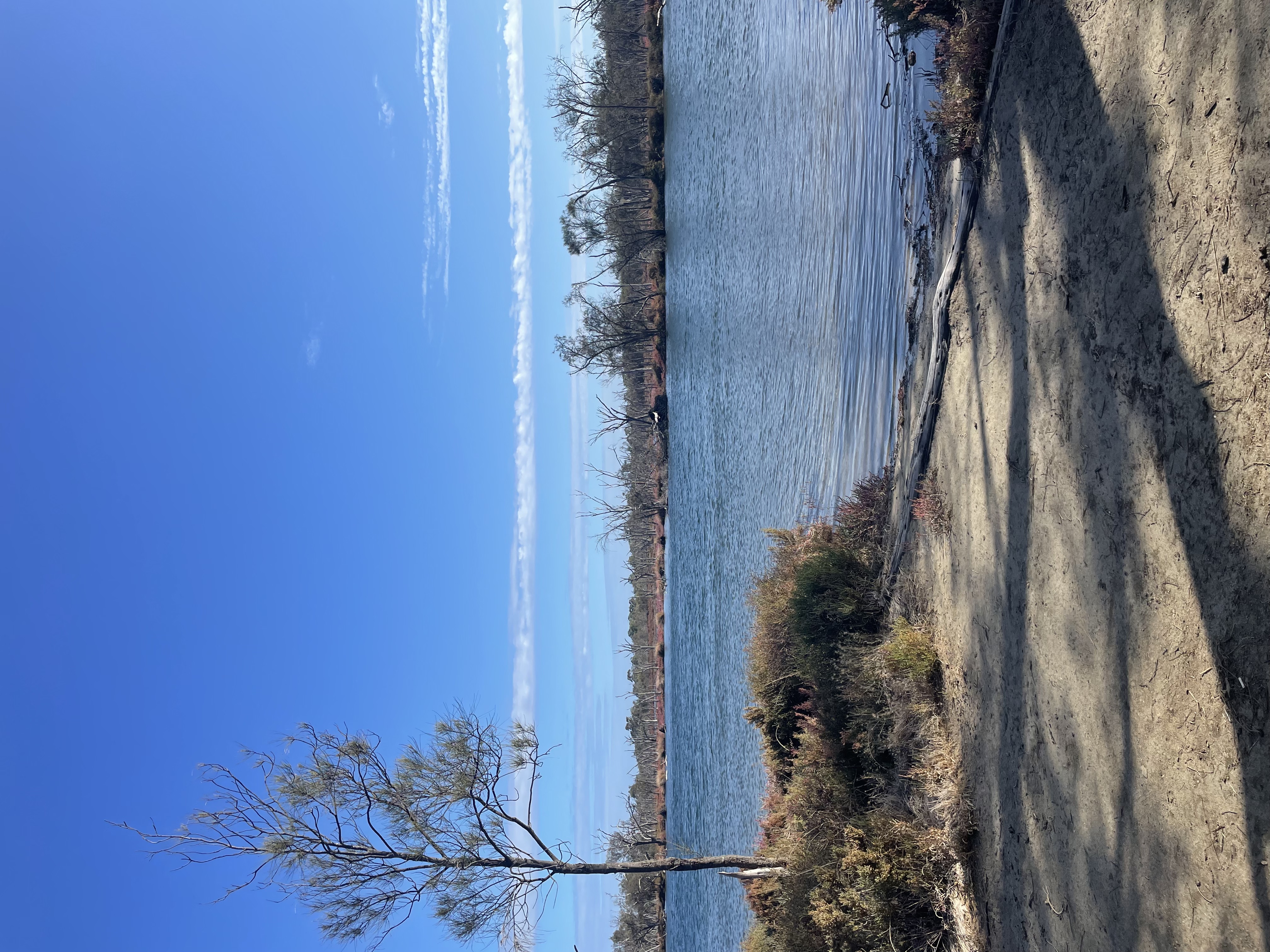
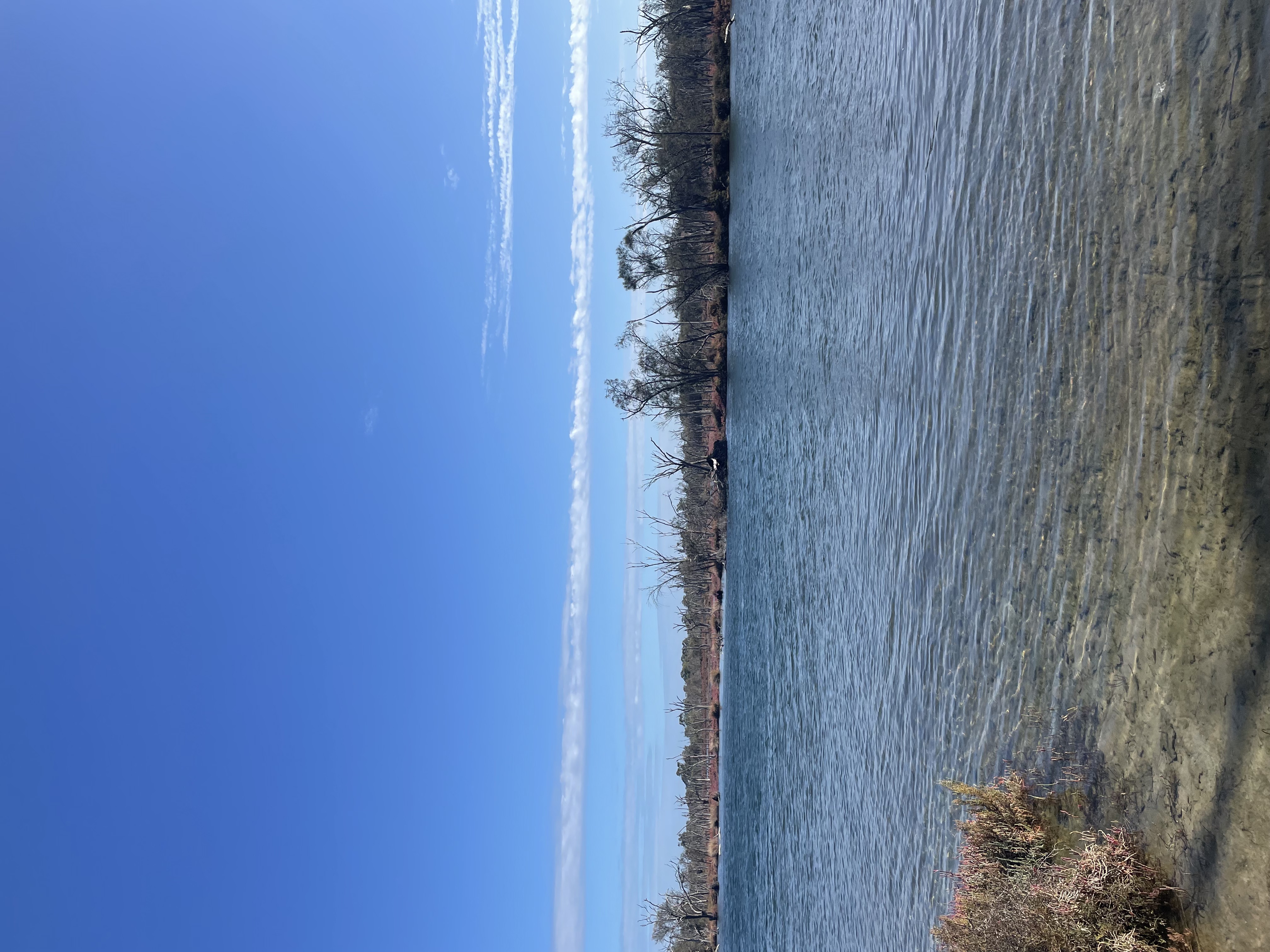
Fauna: There are a plethora of endemic and significant fauna species that call the Serpentine River home. Some of the most prevalent aquatic species that have been documented in this portion of the Serpentine River include the yellowtail grunter, cobbler, sea mullet, western hardyhead and Australian salmon. The river and adjacent wetlands provide essential habitat for many bird species. You can expect to see waterbirds like black swans, pacific black ducks, and purple swamp hens. Migratory shorebirds occasionally use the area during their seasonal journeys.
Flora: The species that line the Serpentine River are those that are best-adapted to the transitonal zones between the aquatic and terrestrial substrates, better known as the 'Riparian Zone' (Beatty et al., 2013). Both sides of the River bank are dominated by native vegetation, including; Eucalyptus Rudis (flooded gum) Melaleuca spp. (tea tree) and range of paperbark species. In wetter patches and seasonally inundated areas, extensive beds of rushes (Juncus spp.), sedges (Cyperaceae family) and salt-tolerant plants such as samphire (Tecticornia spp.) are common.
Abiotic features
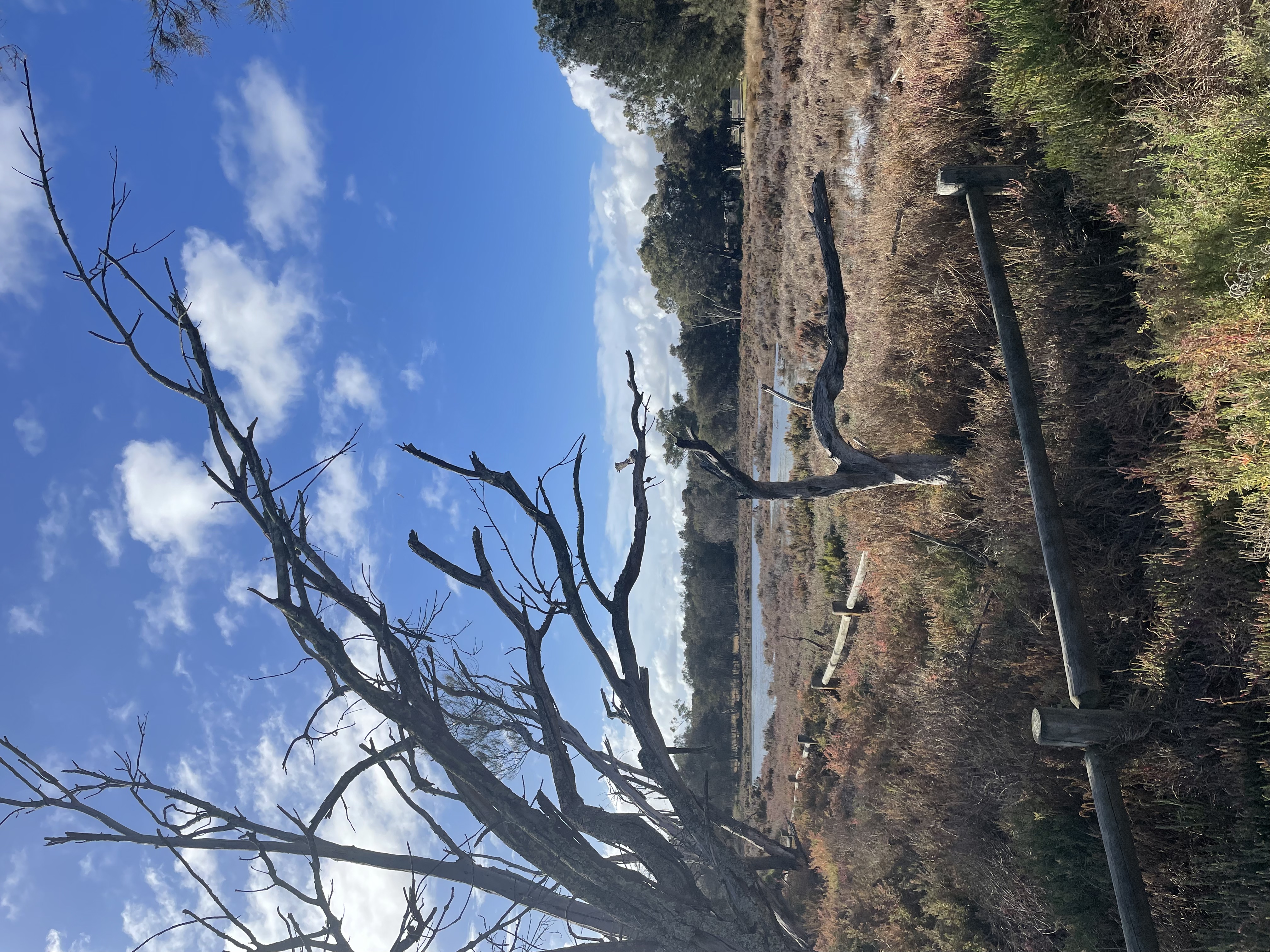
The Serpentine River originates from the underground water sources within the Yilgarn Craton and descends over the Darling Scarp onto the Pinjarra Plains. It then makes a sharp turn and flows in a direction roughly parallel to the coast for about 24 kilometers before emptying into the Peel Inlet. This stretch marks the dividing line between the older Bassendean dunes and the more recent Spearwood dunes. During the late Pleistocene period, the Spearwood dunes played a significant role in shaping the river’s course, contributing to the formation of Lake Goegrup, which runs north to south. Along the Serpentine River valley, the geology is dominated by recent alluvial deposits: unconsolidated sands, silts, and clays laid down by river action, these sediments create fertile floodplains supporting rich soils and vegetation.
Cultural aspects
Aboriginal: The Barragup mungah site holds deep cultural, social, and historical importance for the Nyungar people as a place for legal, ceremonial, and social gatherings. It is also archaeologically significant for its representational qualities and research potential.
The Barragup Bridge area is a shallow river crossing with an underwater structure, though further investigation is needed. About 100 metres downstream on the Mandurah-Pinjarra Road lies the Barragup mungah (fish trap or weir), a vital food source, especially along the Serpentine River, which flows from the hills to the coast. The fish trap, used extensively in the 19th century and likely for centuries before, was constructed from reeds, sticks, and brush. It spanned the river, leaving a central gap where fish were funnelled by the current and collected. Mainly used in autumn, when rainfall brought sea fish inland, it supported large gatherings for food collection and cultural practices.