Bindjareb-Peel Geo Park Guide
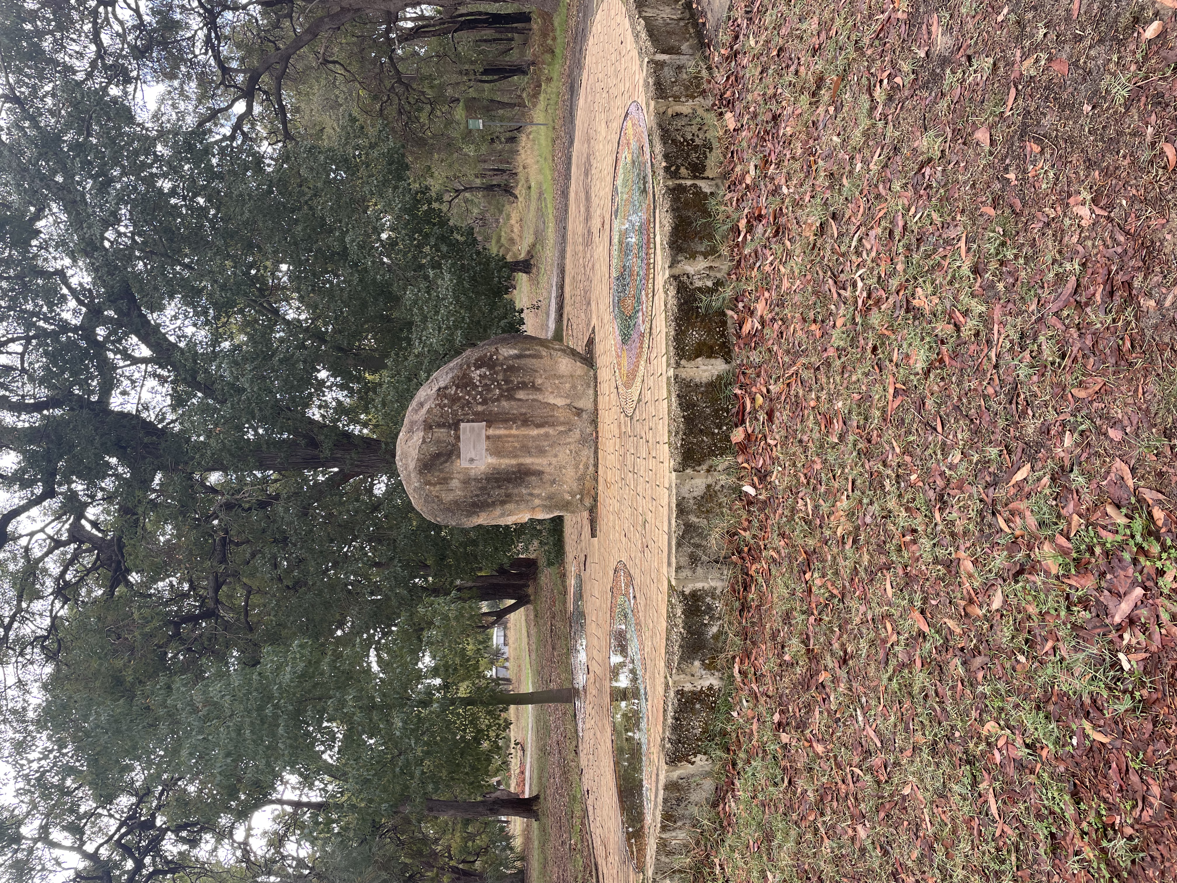
Barragrup Bridge and Mungah
Barragrup Bridge and Mungah holds deep social, cultural, and historical importance for the Nyungar people, as it served as a place for legal, ceremonial, and social gatherings. In addition to its cultural value, the site is also archaeologically important due to its representational qualities and potential for future research. Rather than being a single location, Barragup functioned as a complex of interconnected sites with multiple uses, playing a vital role in the lives of Southwest Nyungar communities.
Bilya Maadjit (Murray River)
Bilya Maadjit (Murray River) is one of the few major waterways near Perth that remains undammed for public water supply. Its catchment extends across much of the Wheatbelt region and into the southwest of Western Australia. The Murray is in Bindjareb Boodja, which means ‘swamp country’ in Noongar. The Bindjareb are the people of the wetlands and key to the area. (Shire of Murray, 2025).
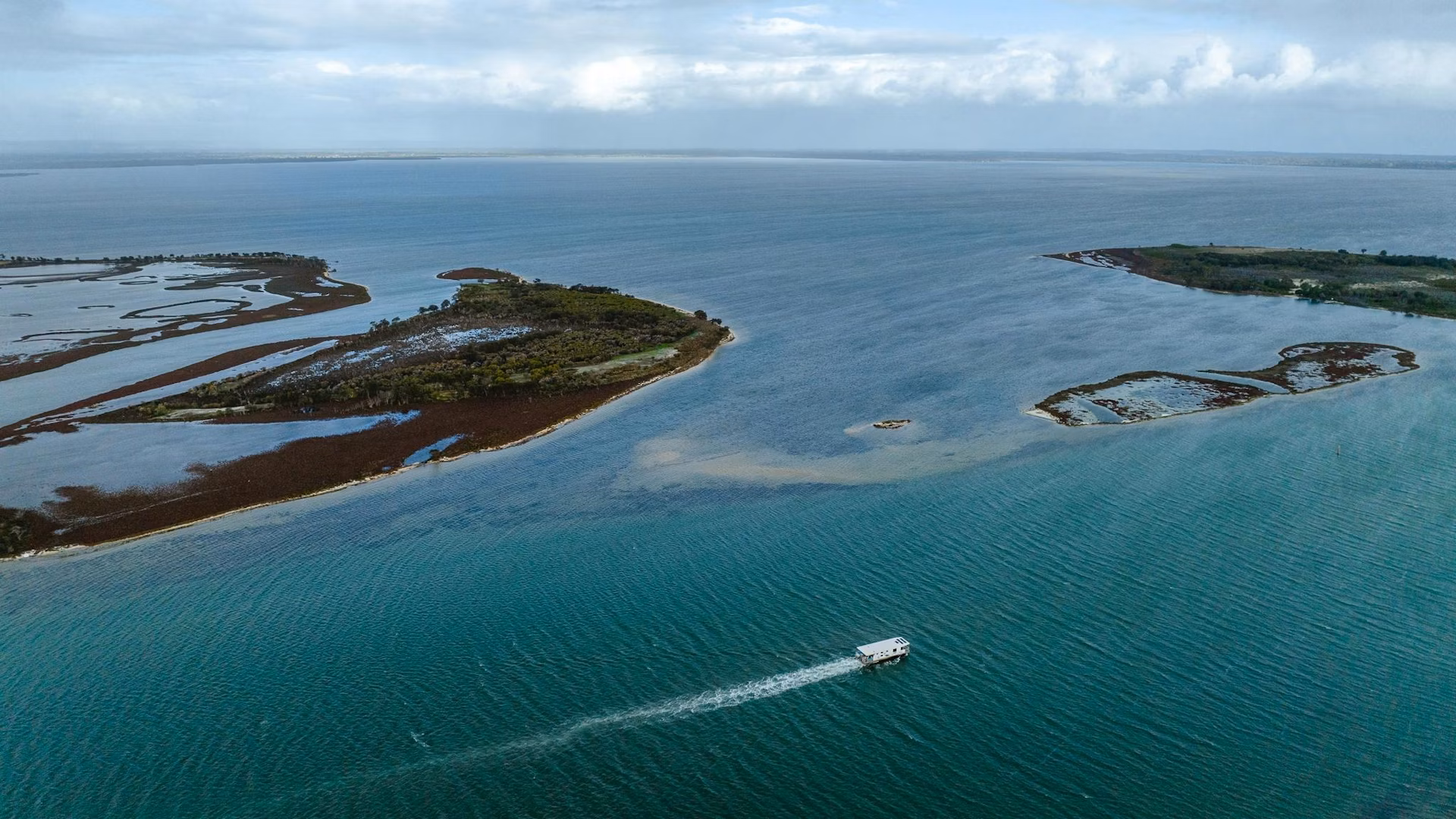
Boundary and Channel Island
Boundary and Channel Island Lookout is situated on the Northern border of Len Howard Reserve Foreshore. Boundary and Channel Island are bordered by Sticks Channel to the South and Mandurah Channel to the West within the Peel Inlet. The islands are visible from the designated lookout location but accessing the islands on foot requires a boat.
Bouvard Reefs
The Bouvard Reef, located about 94 km south-west of Perth and 5 km offshore, can be accessed from Preston Beach, Melros Beach, Avalon Beach, and Port Bouvard Marina. Visitors can experience its rich marine ecology through activities such as swimming, surfing, and fishing.
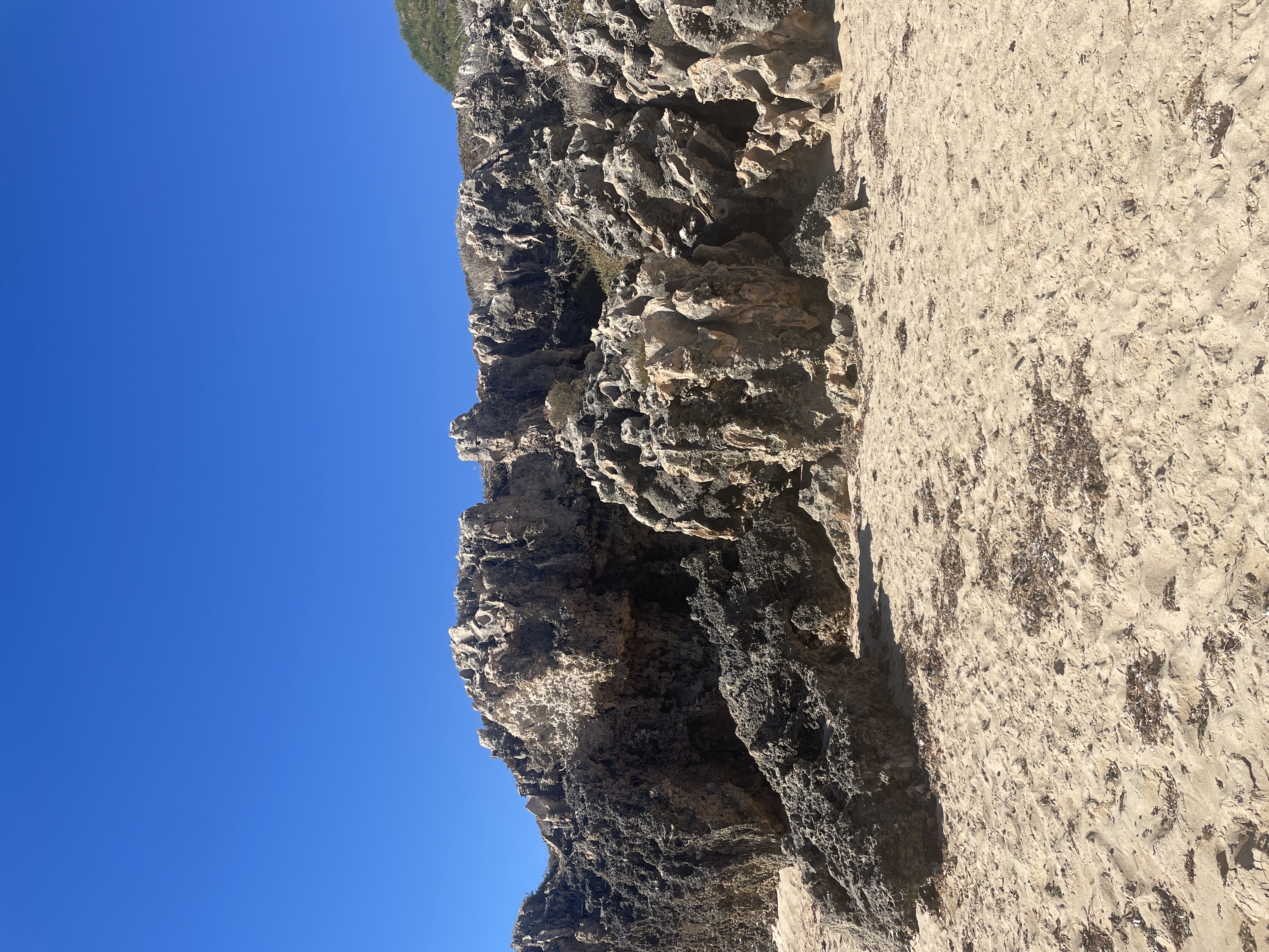
Coastal Karst Formations
Coastal Karst Formations are located on the coastline of Seascapes Beach in Halls Head, roughly 75km South of Perth. The site features impressive ancient calcified tree roots (rhizoliths) that can be seen from the shoreline. Seascapes beach is not ideal for swimming, due to it's shallow onshore reef, however has great coastal walking tracks and rock pool exploration opportunities at low tide.
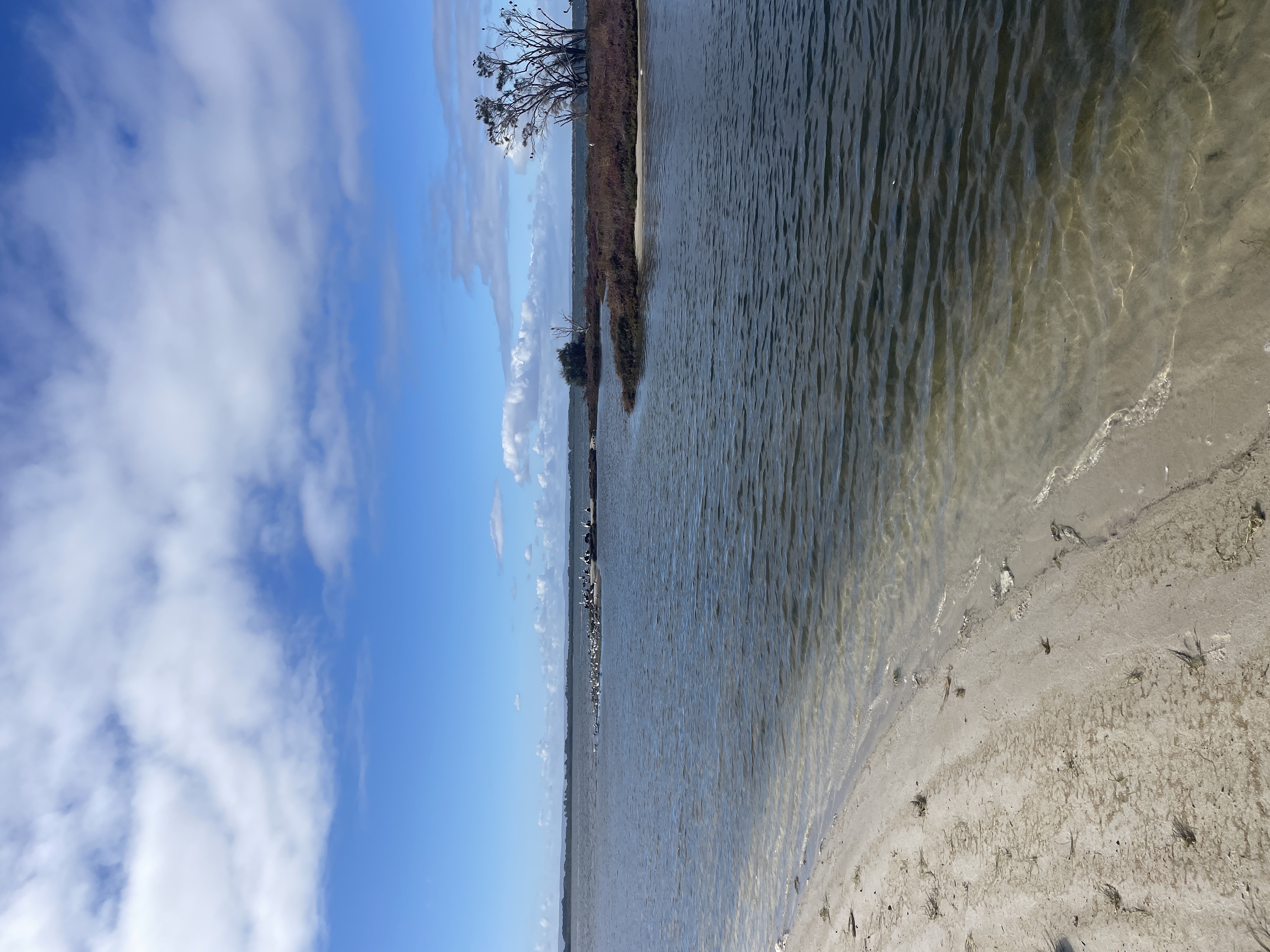
Coolenup Island
Coopers Mill is located at the north-western tip of Coolenup Island, within the Murray Delta where it meets the Peel Inlet. While the site can be viewed from the water's edge, it is only accessible for walking exploration by boat.
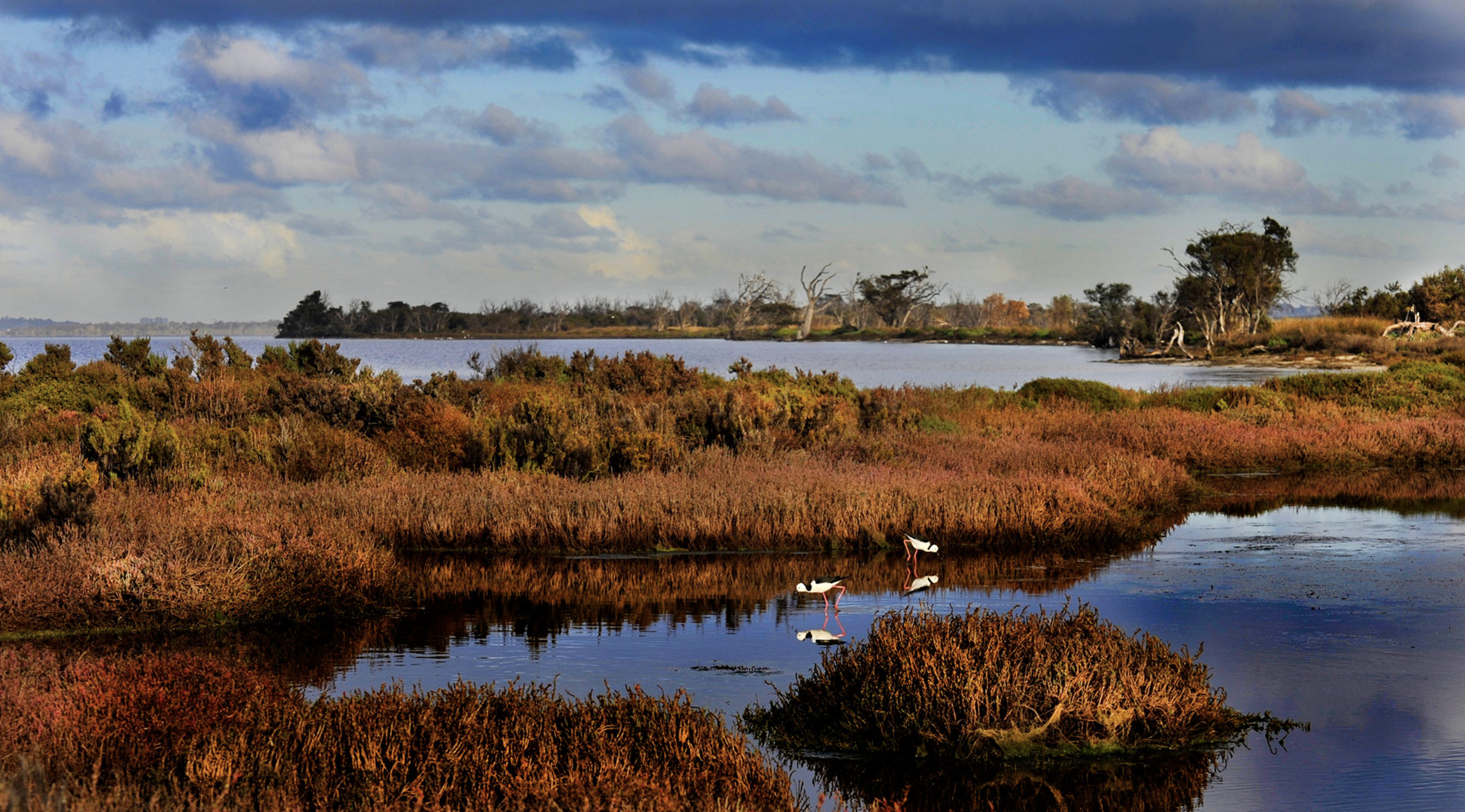
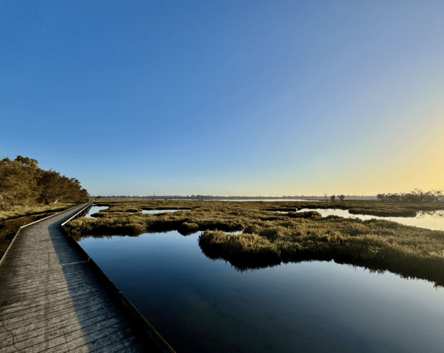
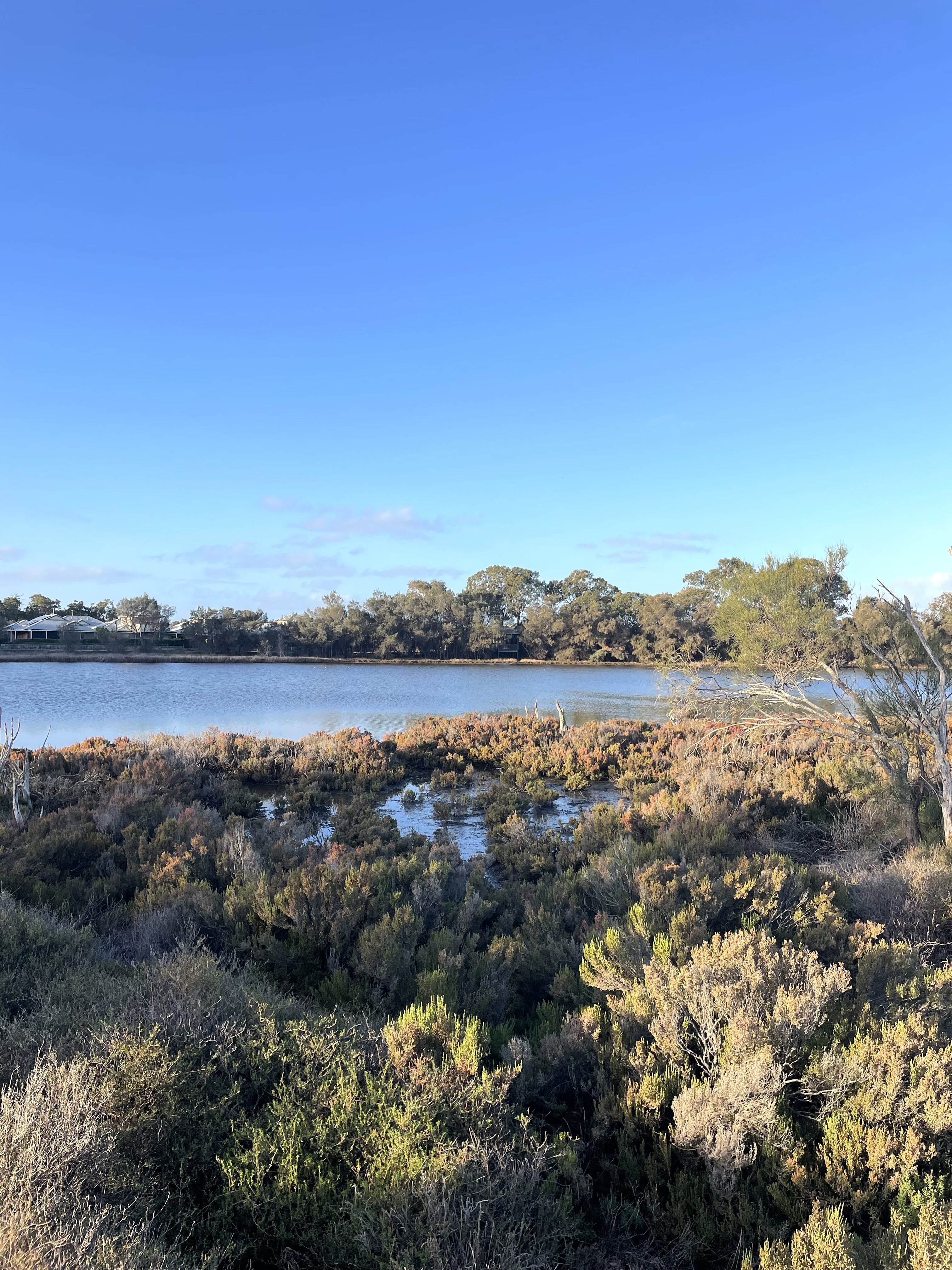
Creery Wetlands Nature Reserve
The Creery Wetlands Nature Reserve, situated in Mariners Cove Mandurah, stands as a hidden gem of ecological significance. This unspoiled wetland is renowned for its ecological diversity and cultural value. It provides a peaceful retreat and a rare chance for visitors to engage with the natural environment.
Dawesville Cut
Built in 1994, the 2.5 km Dawesville Cut links Peel Inlet to the Indian Ocean. The cut is about 80 km south of Perth and 14 km south of the regional city of Mandurah. Its coastal estuarine scenery and abundant wildlife make this site one of the most popular spots in Dawesville for boating, fishing, birdwatching and hiking.

Djilba (Peel Harvey Estuary System)
The Peel Harvey Estuary is a large system of shallow estuarine and saline, brackish and freshwater lakes, comprised of the Peel Inlet. It is connected to the Indian Ocean via the Dawesville Channel in Mandurah and the Harvey Estuary further south. The Peel Harvey Estuary is the largest and most diverse estuarine complex in south-western Australia with an area of 133km2 .
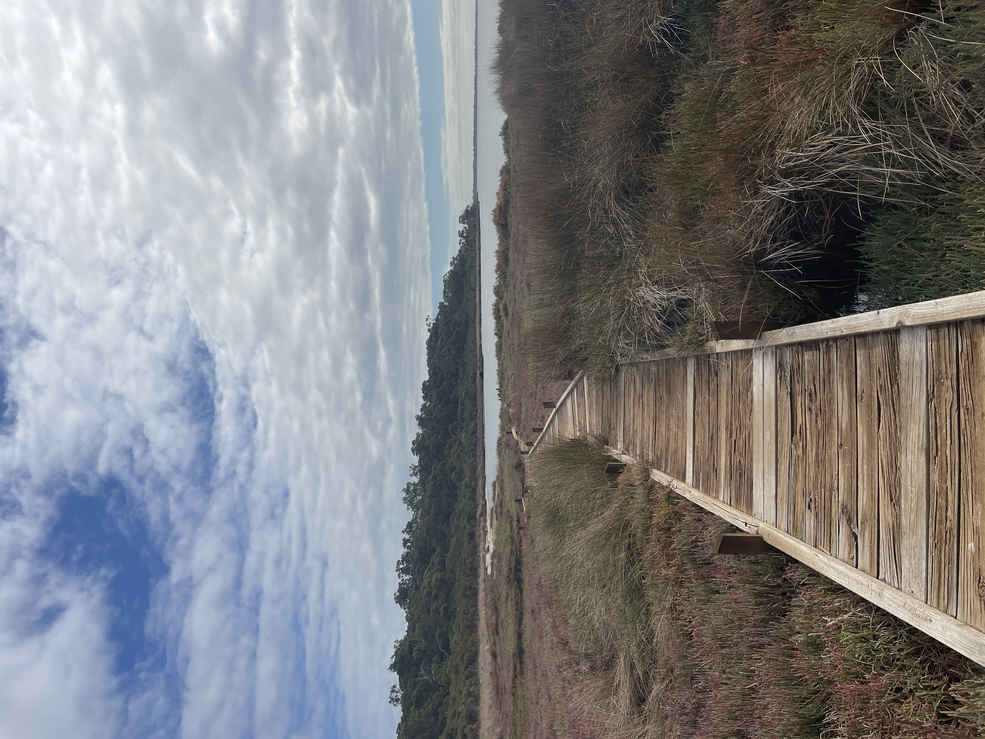
Island Point Reserve
Island Point Reserve sits along the edge of the Peel-Harvey Estuary, it extends across 32ha of bushlands and foreshore, ideal for swimming and birdwatching. Visitors can enjoy bushwalking on scenic trails, make use of picnic tables and access boat launch points at two separate entrances. The reserve is situated on a narrow strip of land between the Indian Ocean and the Peel Inlet and is home to a variety of flora and fauna, including rare and endangered species.
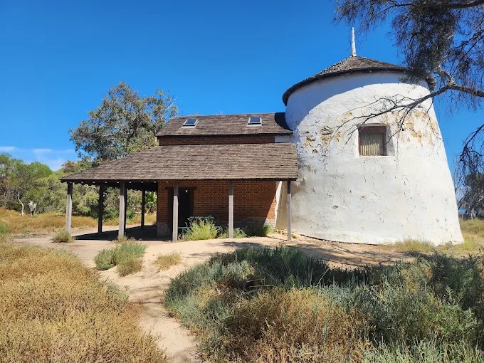
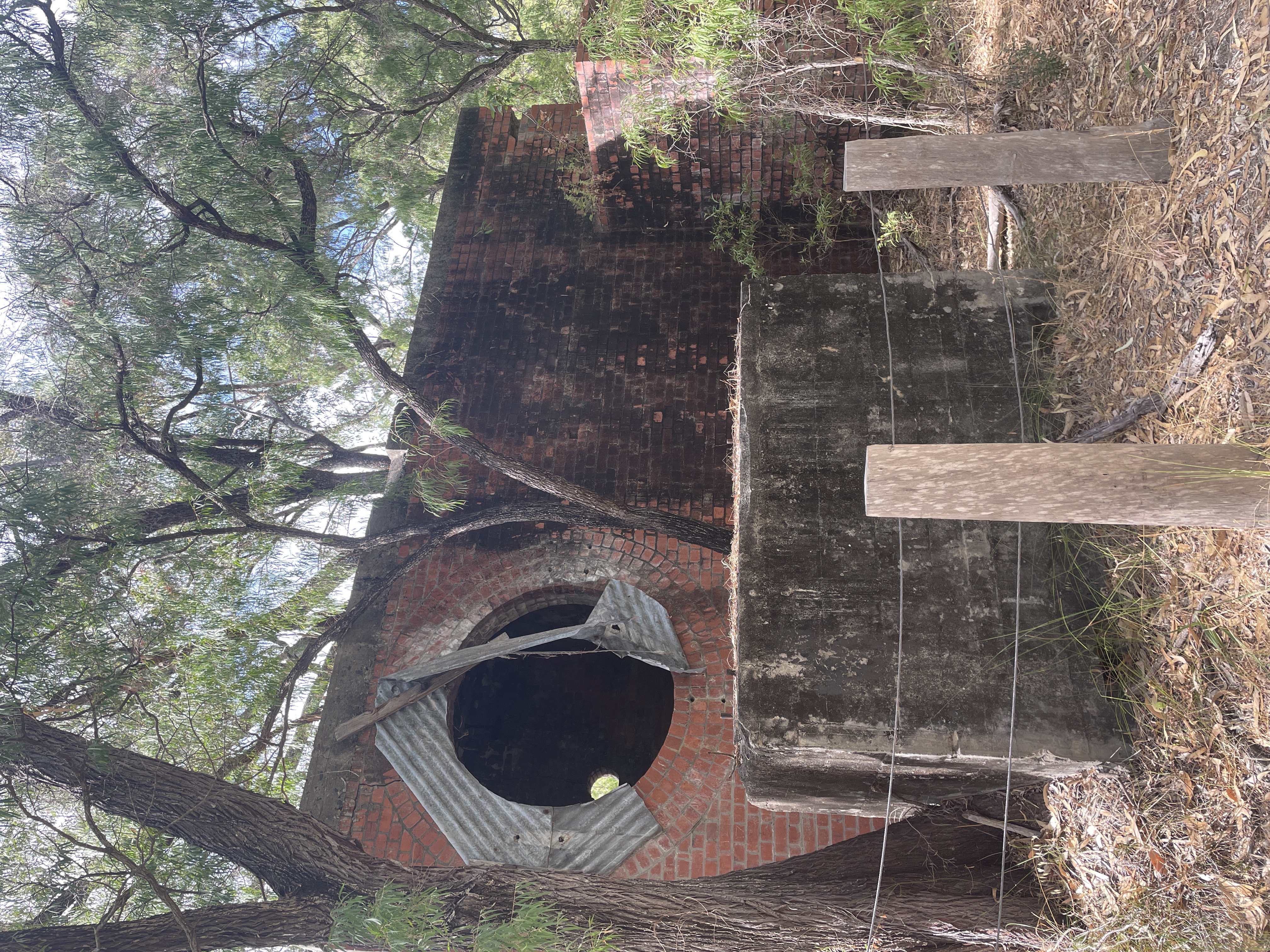
Lake Clifton Lime Kiln
The Lake Clifton Lime Kiln was originally part of the Western Australian Portland Cement Company’s lime project that operated between 1919 and 1923. The lime kiln is among the few surviving remnants of the old Lake Clifton settlement, which the WA Portland Cement Company established as a company town in 1920.
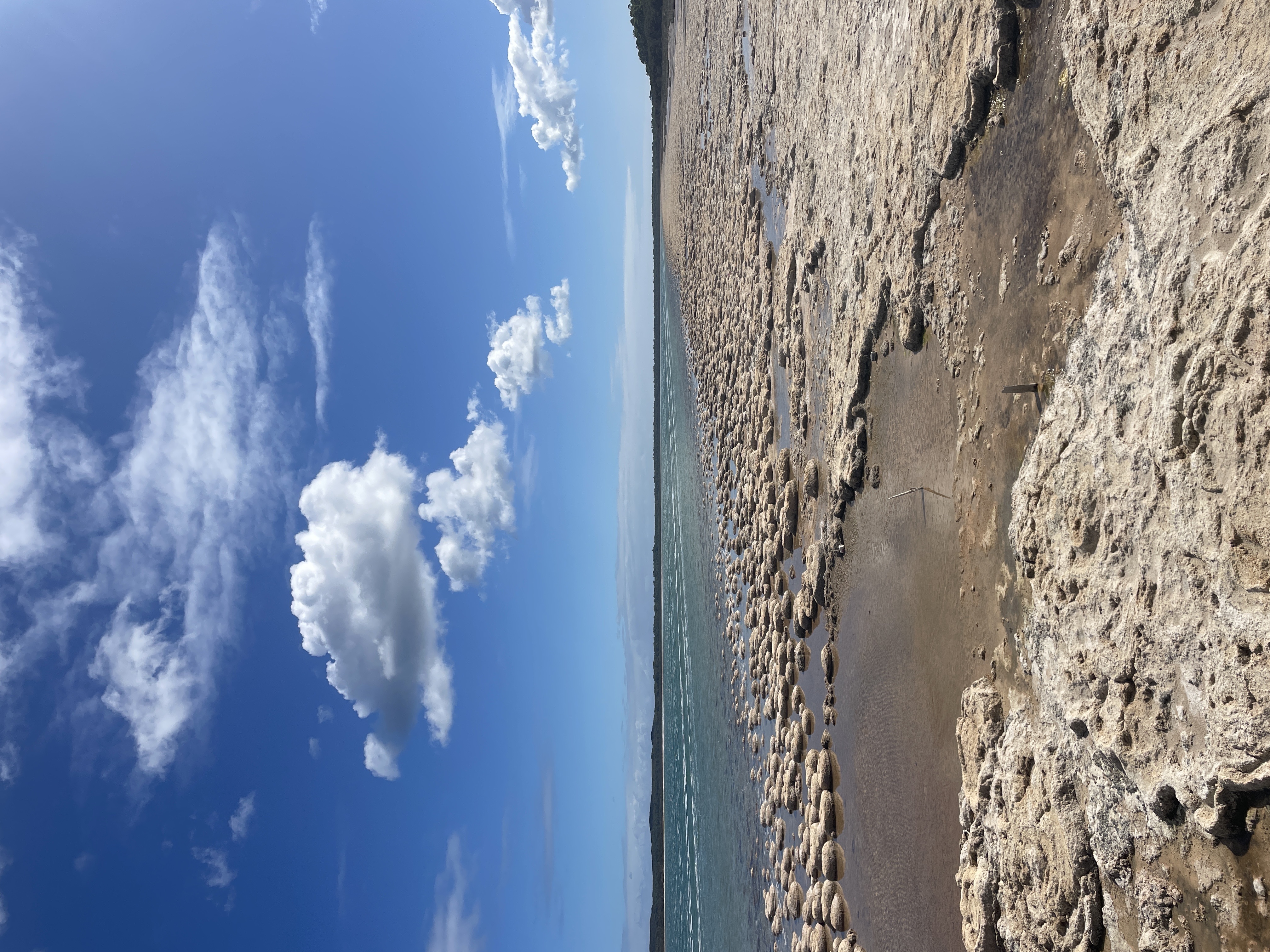
Lake Clifton Microbialite Reef
The Lake Clifton Thrombolites are a modern microbialite reef located within Yalgorup National Park, just south of Mandurah. These rock-like formations are among the planet’s oldest life forms, dating back approximately 570 million years, producing oxygen that paved the way for all subsequent life.
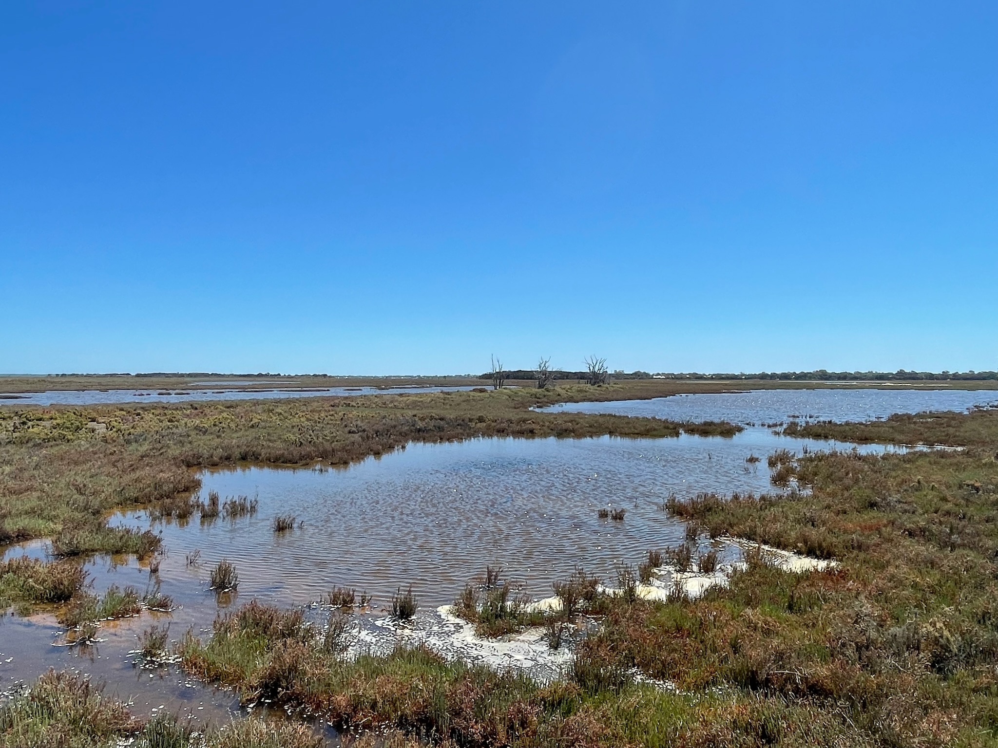
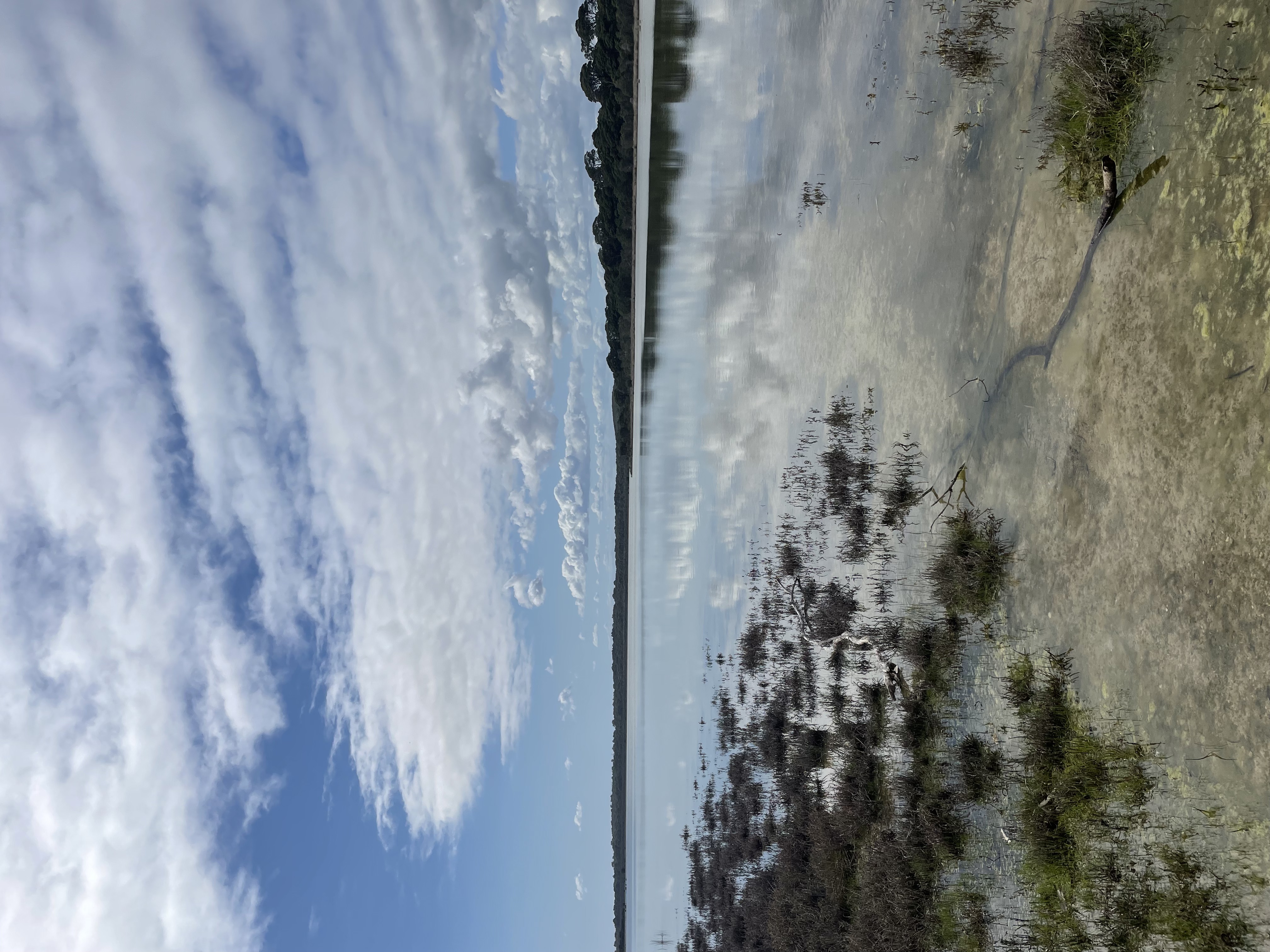
Lake Goegrup
Lake Goegrup is a large, shallow wetland—reaching depths of up to 1.5 metres, spanning over 1,700ha and is located just 65km south of Perth. The site features native vegetation along its banks, riparian salt-marshes, winding streams and small islands (Oates, 1997).
Lake McLarty
Lake McLarty Nature Reserve sits on the eastern side of the Peel-Harvey Estuary. Lake McLarty is a 219ha freshwater lake nature reserve and is regarded as one of the best wetlands in WA.
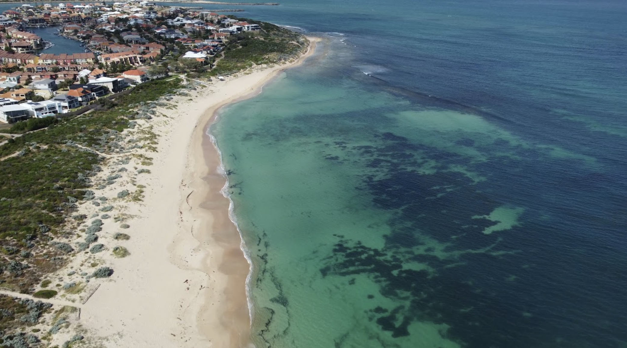
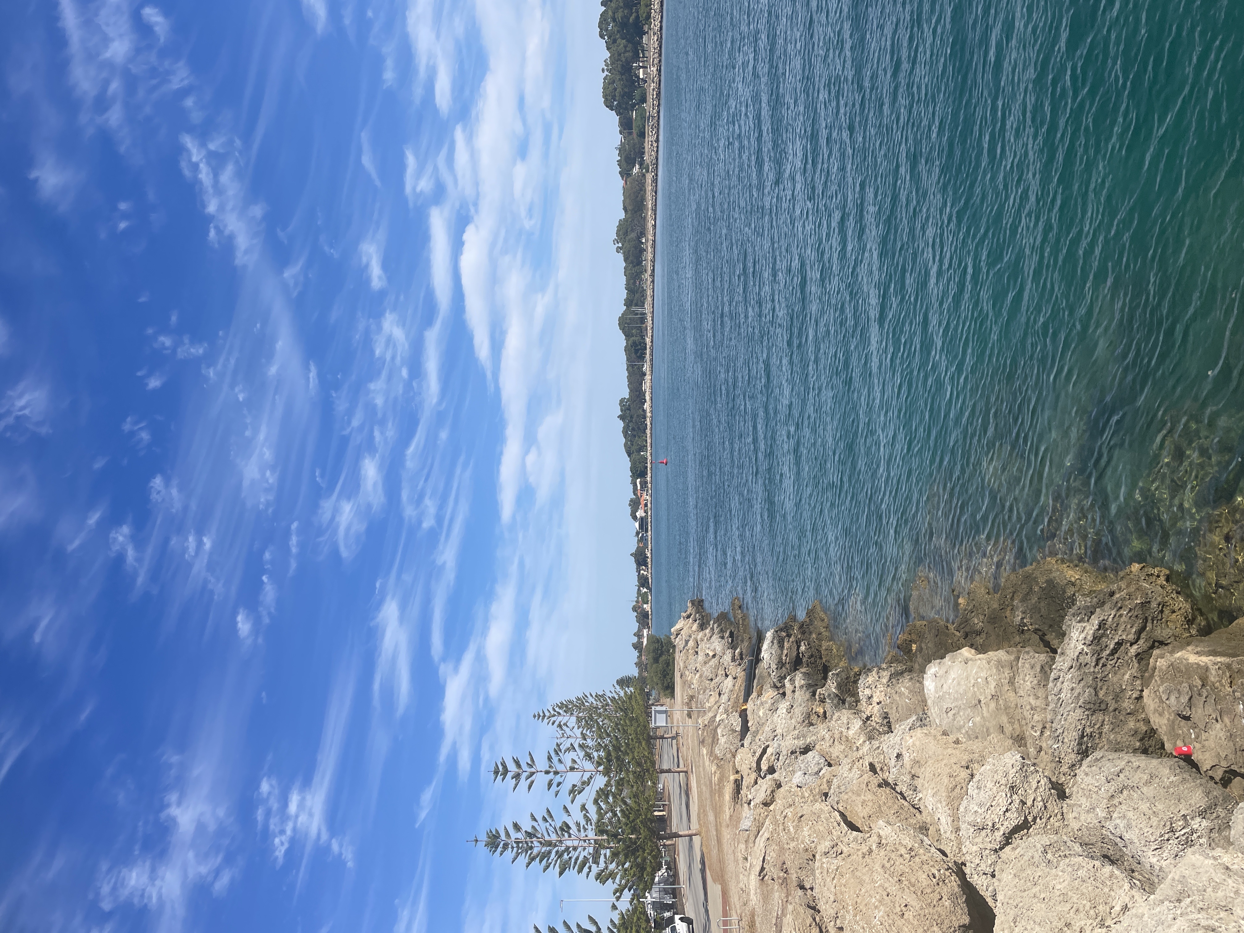
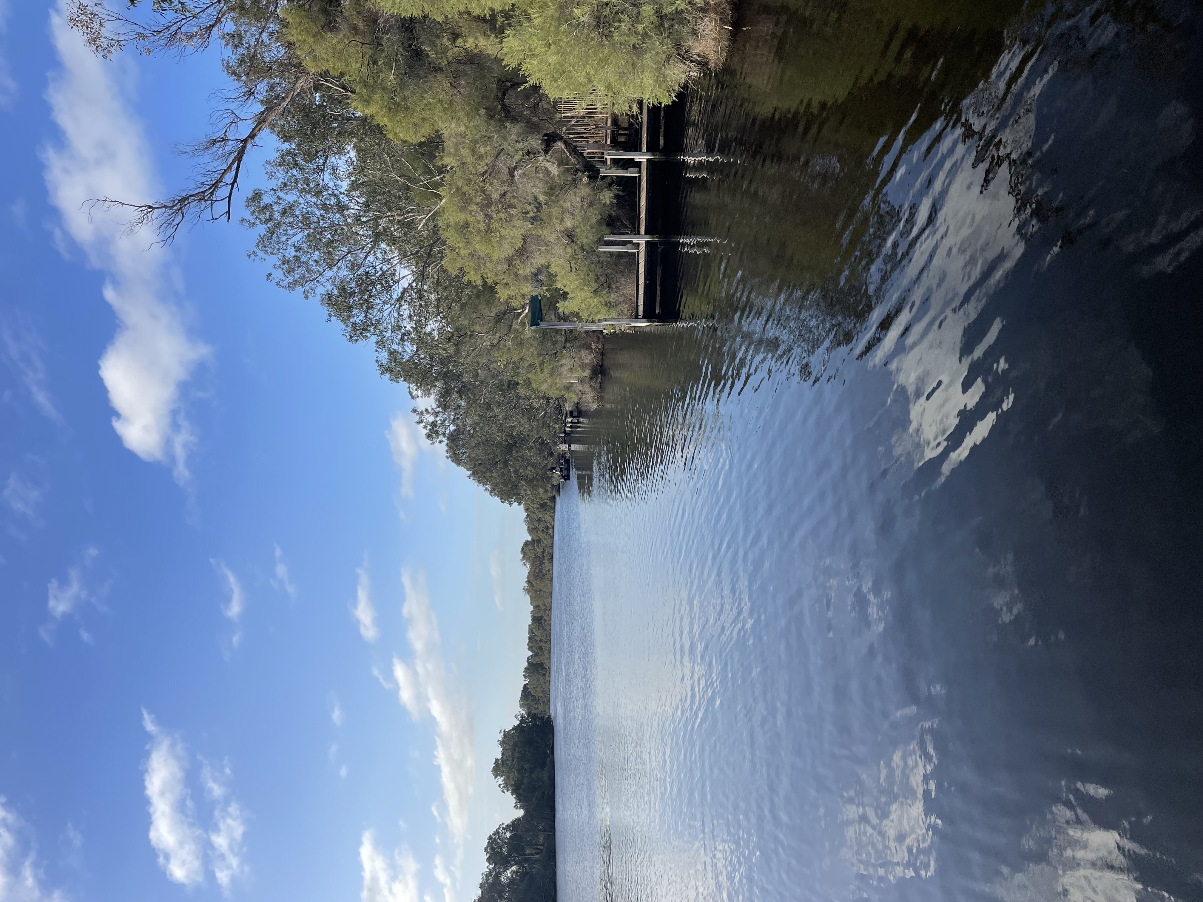
Mandurah Channel Entrance
The Mandurah Channel Entrance refers to the point where the Mandurah Estuary connects to the Indian Ocean. It is a critical area for boating, as it allows access to the Mandurah Estuary and Peel Inlet. The channel is maintained through dredging and sand bypassing to ensure safe navigation depths. The catchment of the Peel-Harvey Estuary is 12,000 square km.
Mandurah Eaton Ridge
Mandurah Eaton Ridge is visible from Lake Clifton Road on the DBCA Treasure Block reserve. The ridge stretches approximately 70km long between Dawesville and Eaton and represents coastal barrier building during Pleistocene interglacial higher sea levels. Visitors can witness an elevated sand dune and limestone ridge between depressions of the Harvey Estuary and the Bassendean Sands (East) and the Yalgorup Plain and Lake Clifton (West).
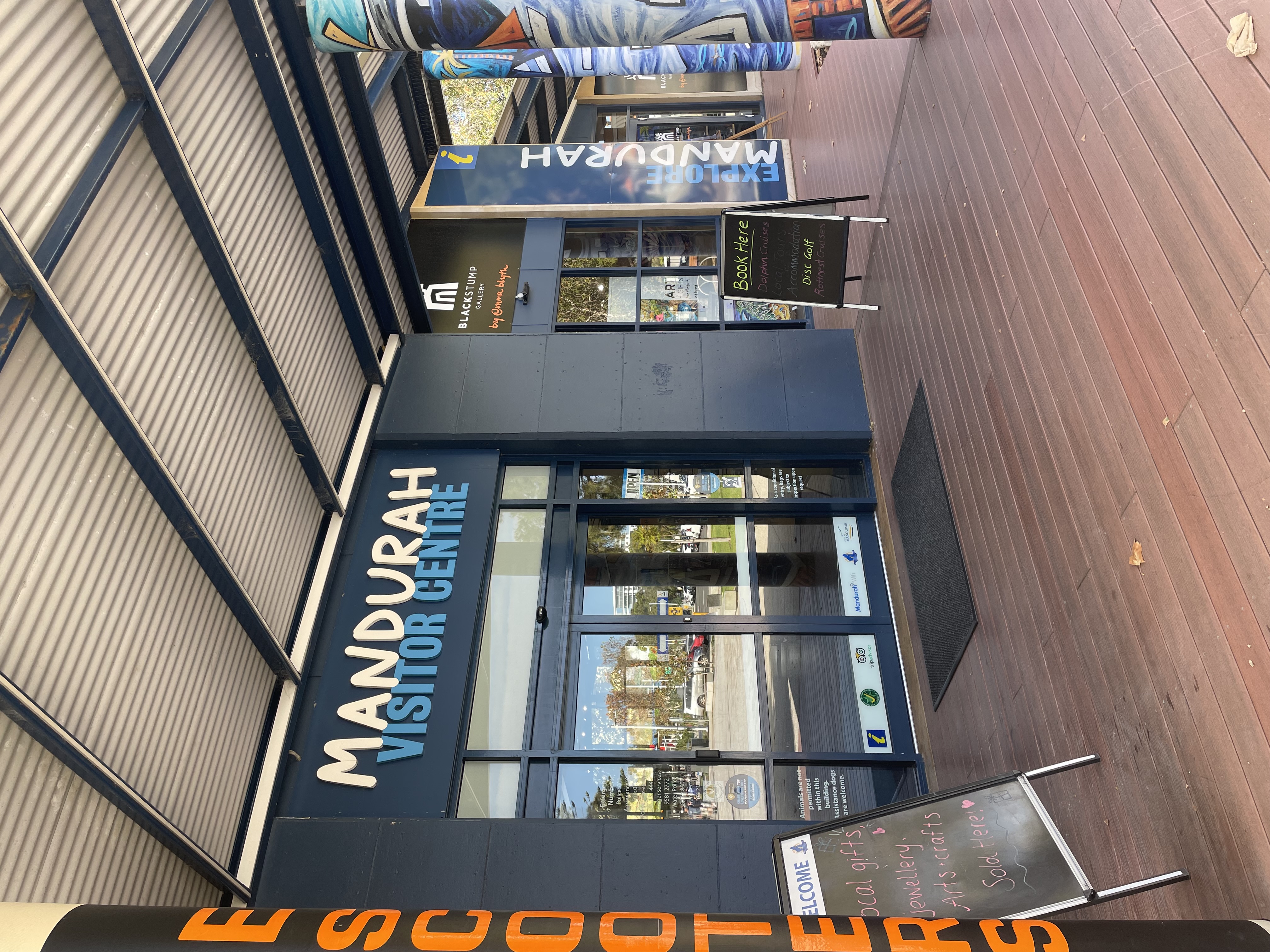
Mandurah Visitor Centre
Mandurah Visitor Centre is a welcoming hub where friendly local experts help you uncover hidden gems, plan unforgettable experiences, and make the most of Mandurah’s stunning waterways, vibrant arts scene, and natural attractions.
North Dandalup Dam
North Dandalup Dam was established in 1994 and is the newest Dam to serve Perth, it stores water from the Dandalup River Catchment (153km^2). The dam services areas of the South-West, the Wheatbelt and the Goldfields. The North Dandalup Dam is located 5km east of the town of North Dandalup, nestled within the Darling Range.
Old Coast Road
Old Coast Road is more than just a drive, it’s a journey through Mandurah’s natural beauty. It's a major transport route that runs along the western side of the Peel-Harvey Estuary, connecting Mandurah to Australind and Bunbury. The road offers a mix of estuarine views, open rural landscapes, and patches of native bushland, making it a scenic alternative to the Forrest Highway. It provides access to several local attractions, including estuary foreshore areas, fishing spots and nature reserves.
Pinjarra Massacre Site
Pinjarra Massacre Site was the site of the Battle of Pinjarra. This event in Australian history was a particularly violent and infamous assault on Aboriginal people. It occurred in 1834 in the town of Pinjarra, located approximately 83 kilometres south of Perth in Western Australia.
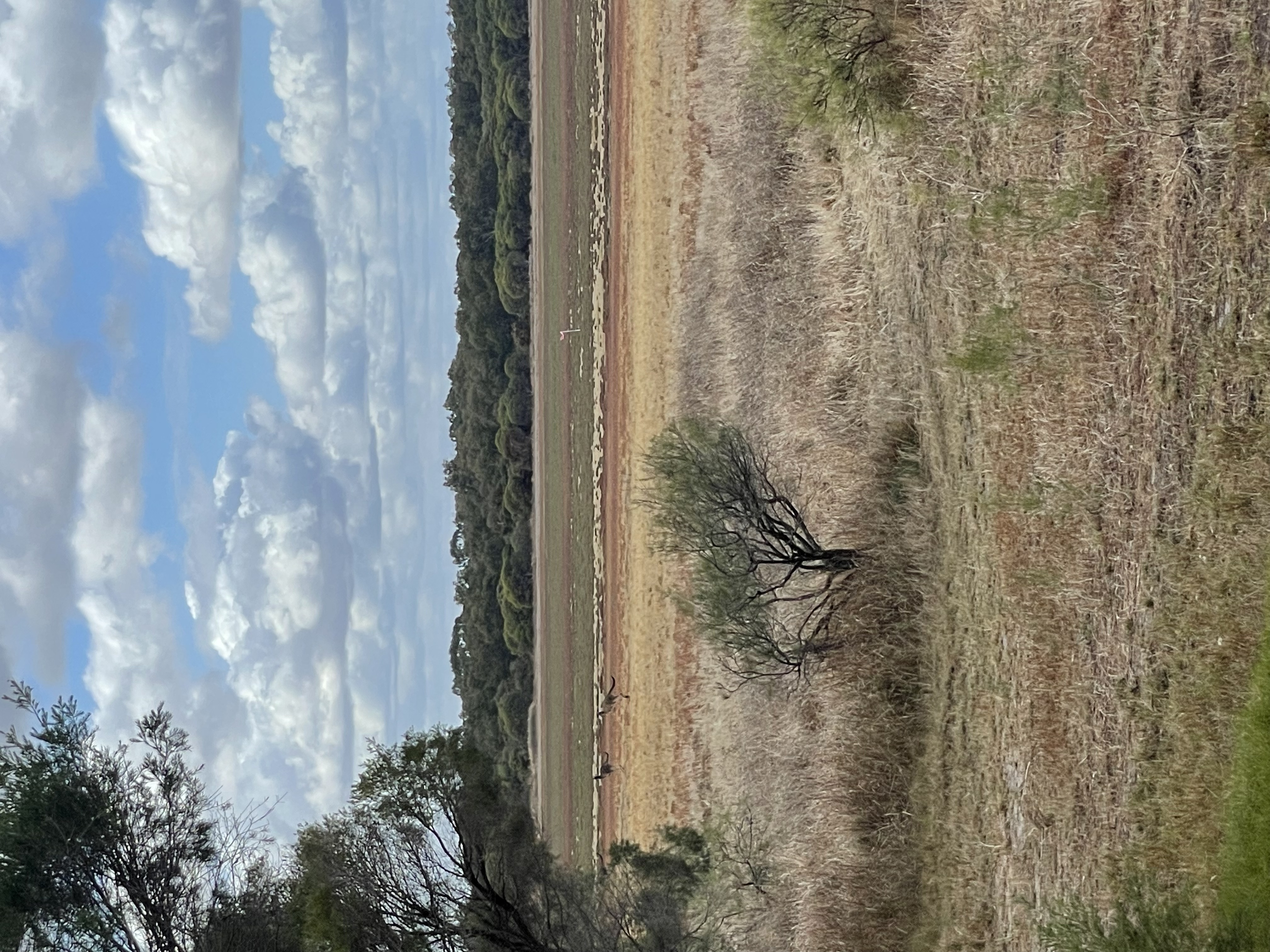
Pinjarra Plain
The Pinjarra Plains spread across Coolup, Pinjarra and the Murray Riverbanks. The plains are located approximately 80km south of Perth and 21km south-east of Mandurah.
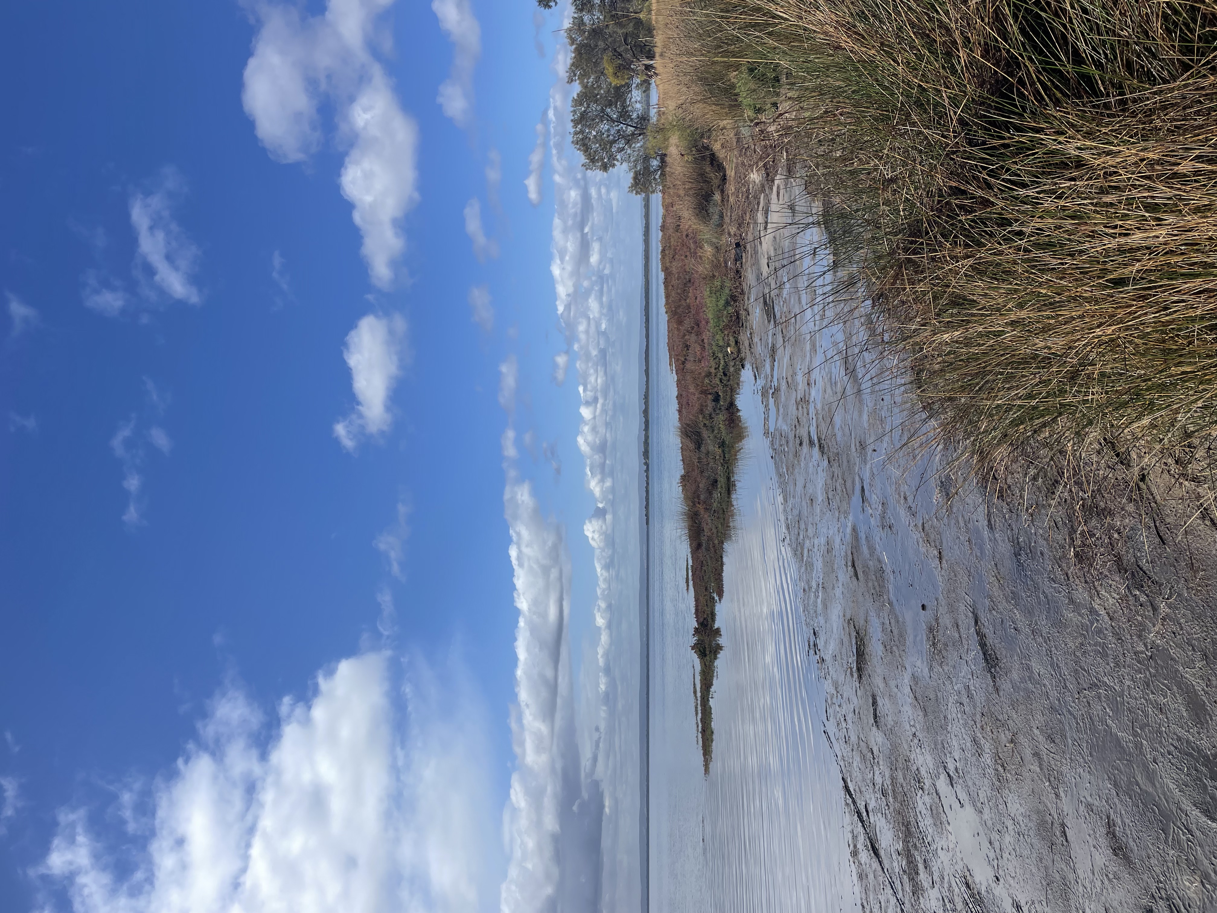
Point Grey
Point Grey lies approximately 96km south of Perth and just 32km from Mandurah. Point Grey is positioned between two estuarine ecosystems which create a thriving haven for a variety of wildlife.
Preston Beach Coquina
Preston Beach Coquina is located on the Lake Preston shoreline, bounded by the Indian Ocean and Yalgorup National Park, 124 kilometres south of Perth.
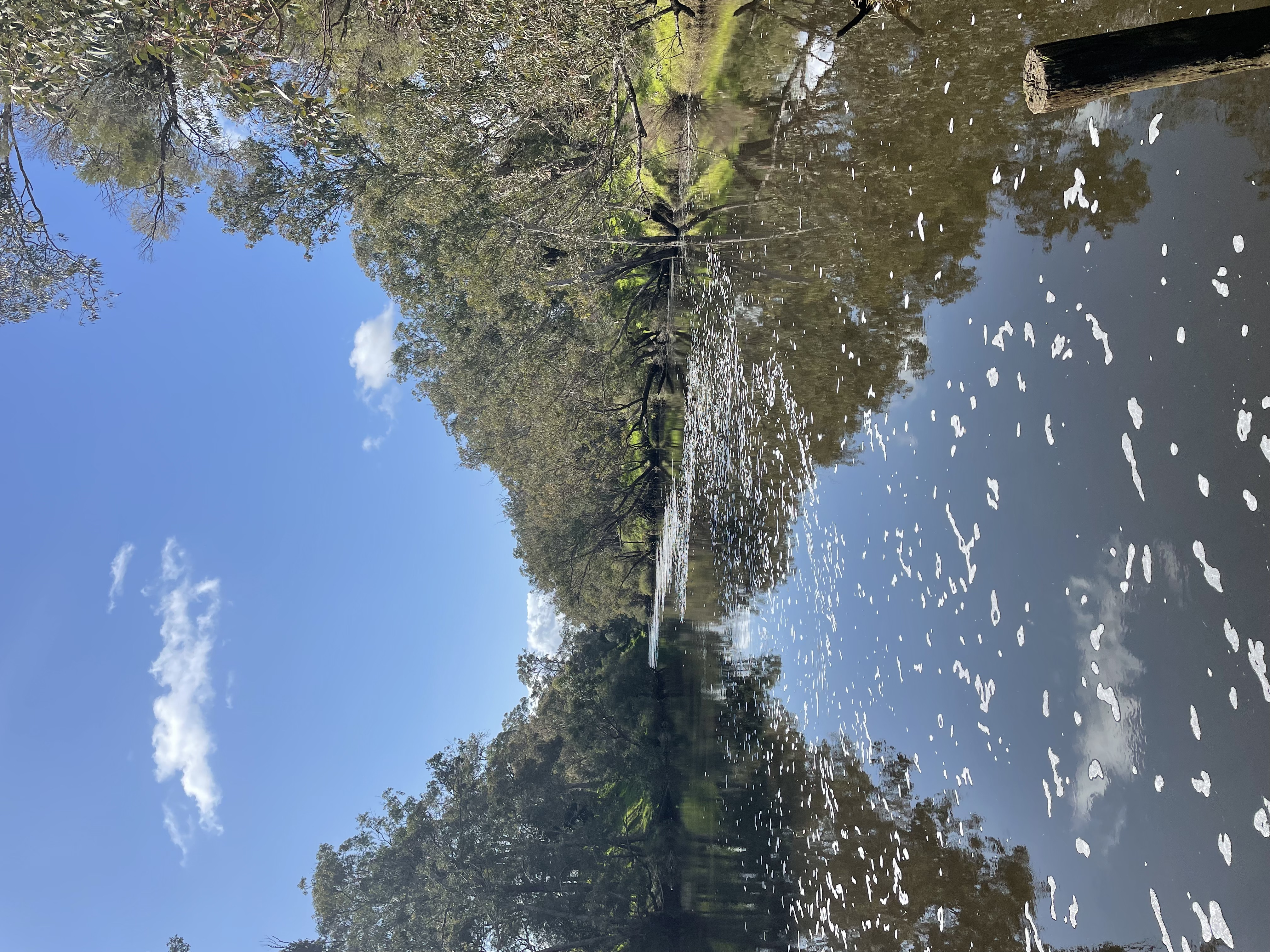
Waangaamaap Bilya (Serpentine River)
The Serpentine River is located approximately 60km south of Perth and originates beneath Bowerling Hill on the Darling Scarp. After descending from the Scarp, it enters the Swan Coastal Plain and flows westward, passing beneath the South Western Highway. It travels by the township of Serpentine before turning southward, eventually emptying into the Peel Inlet near Mandurah in Western Australia.
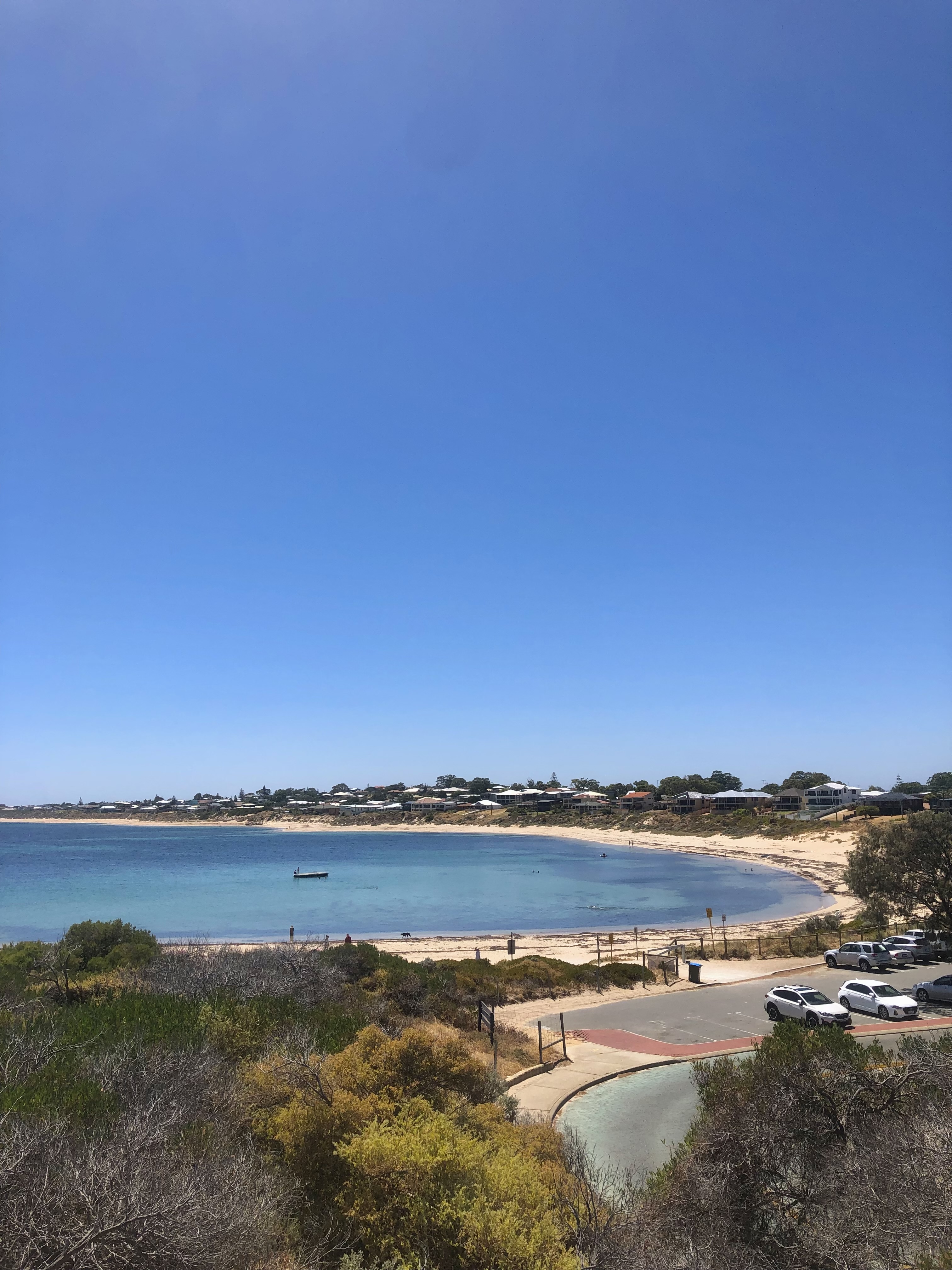
Wardan (The Indian Ocean)
The Indian Ocean (Wardan) can be observed from Falcon Bay Lookout, on the Western Boarder of the Peel Aspiring Geopark. From the Falcon Bay car park, a well-signed path leads 50 m to a set of stairs that ascend to the lookout platform which is ideal for sunset viewing.
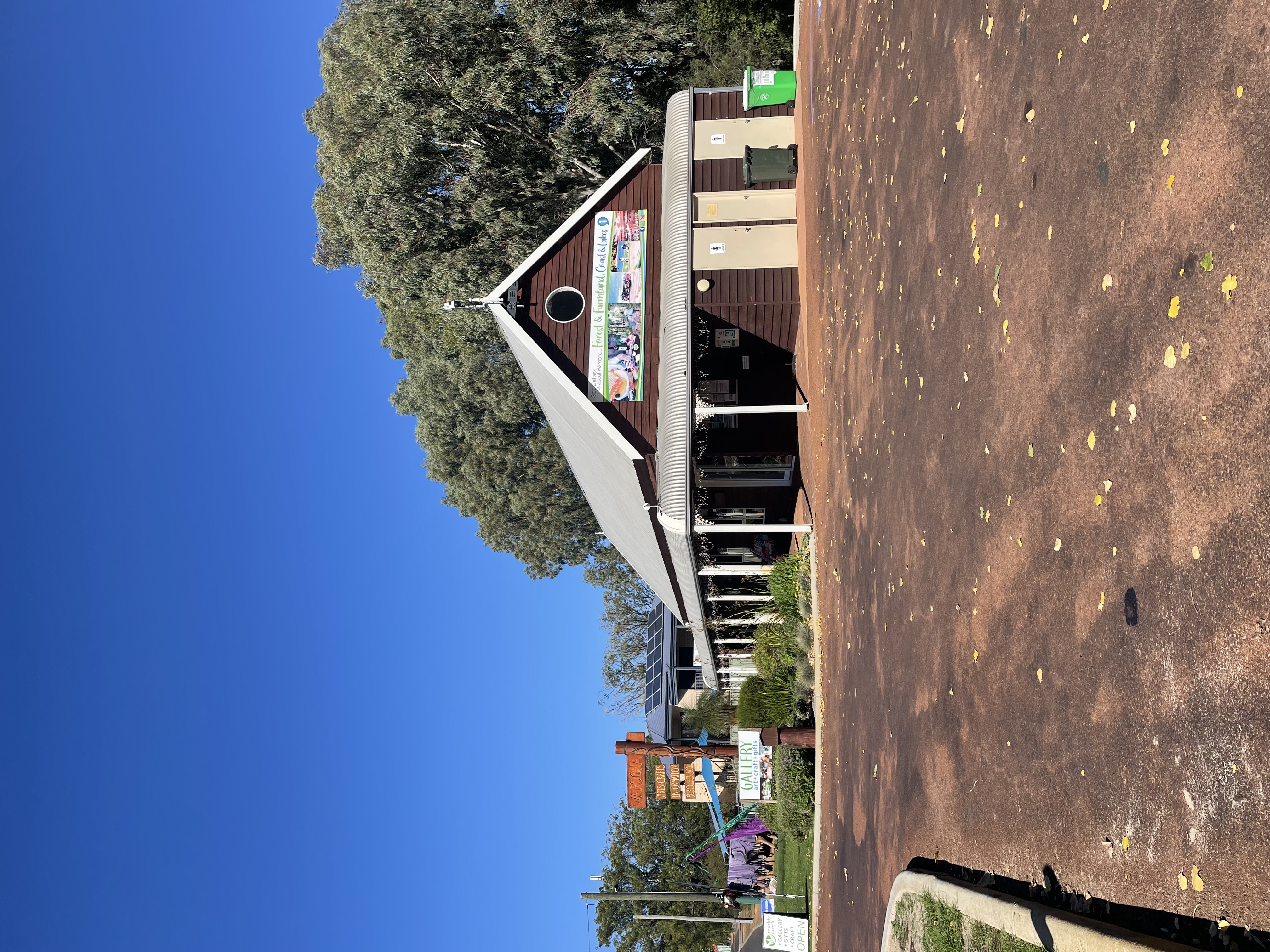
Waroona Tourist Visitor Centre
Waroona Tourist Visitor Centre offers guests a wealth of knowledge and extensive information on the unique environment of the region. Staff and volunteers are available to help plan both day trips and extended visits. The Centre also features a gallery showcasing high-quality local art, crafts, gifts, homewares, ornaments, and souvenirs.
Located out front is Mooriel (also known as the Waroona Cow), a life-sized fibreglass cow known for her regularly changing outfits. Famous for her playful and quirky 'cowture,' Mooriel has become a local icon—and possibly the most photographed cow in Western Australia
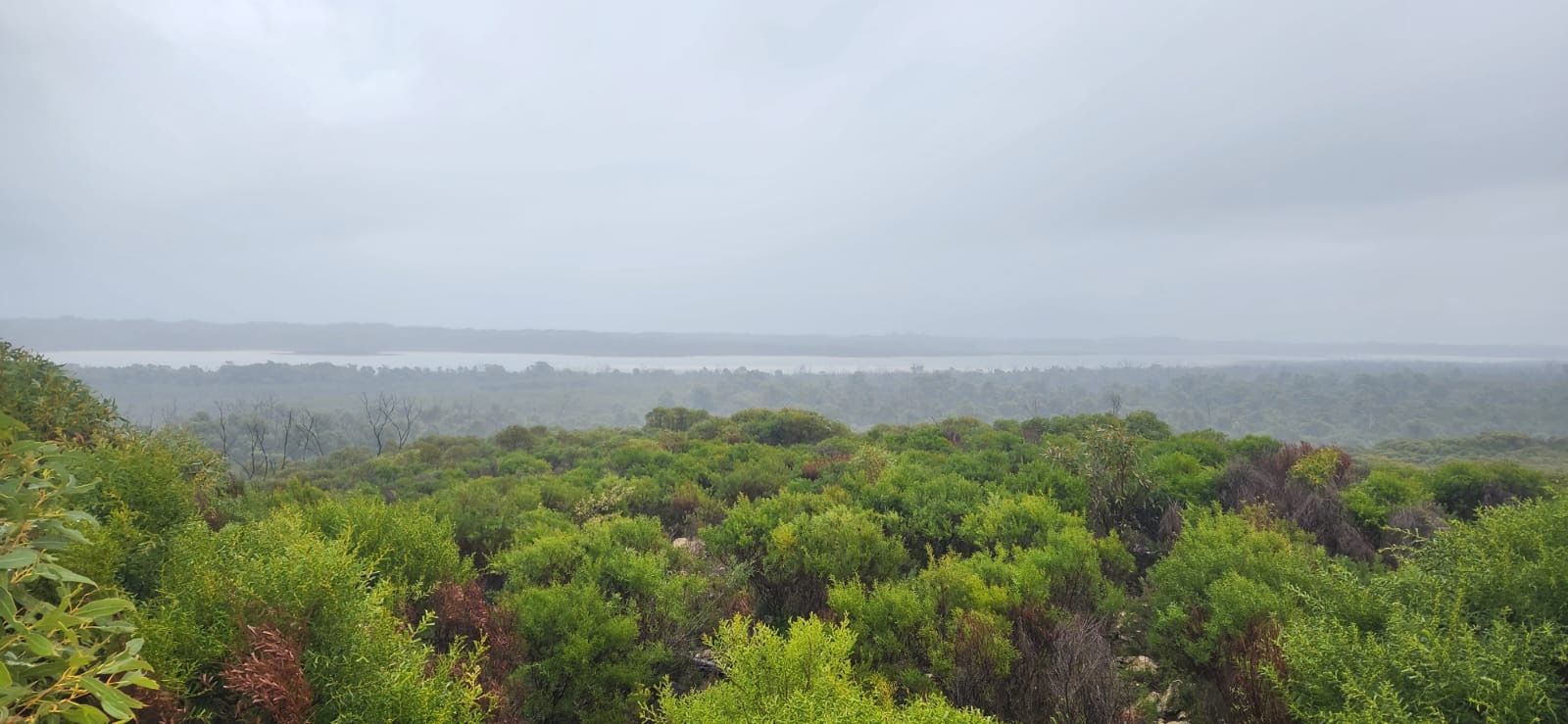
White Hills Lookout
White Hills Lookout is located in Bouvard, 17km south of Mandurah, on Old Coast Road. The viewing deck provides 360 views of the Indian Ocean (Wardan), Yalgorup National Park and iconic Bouvard Reefs.
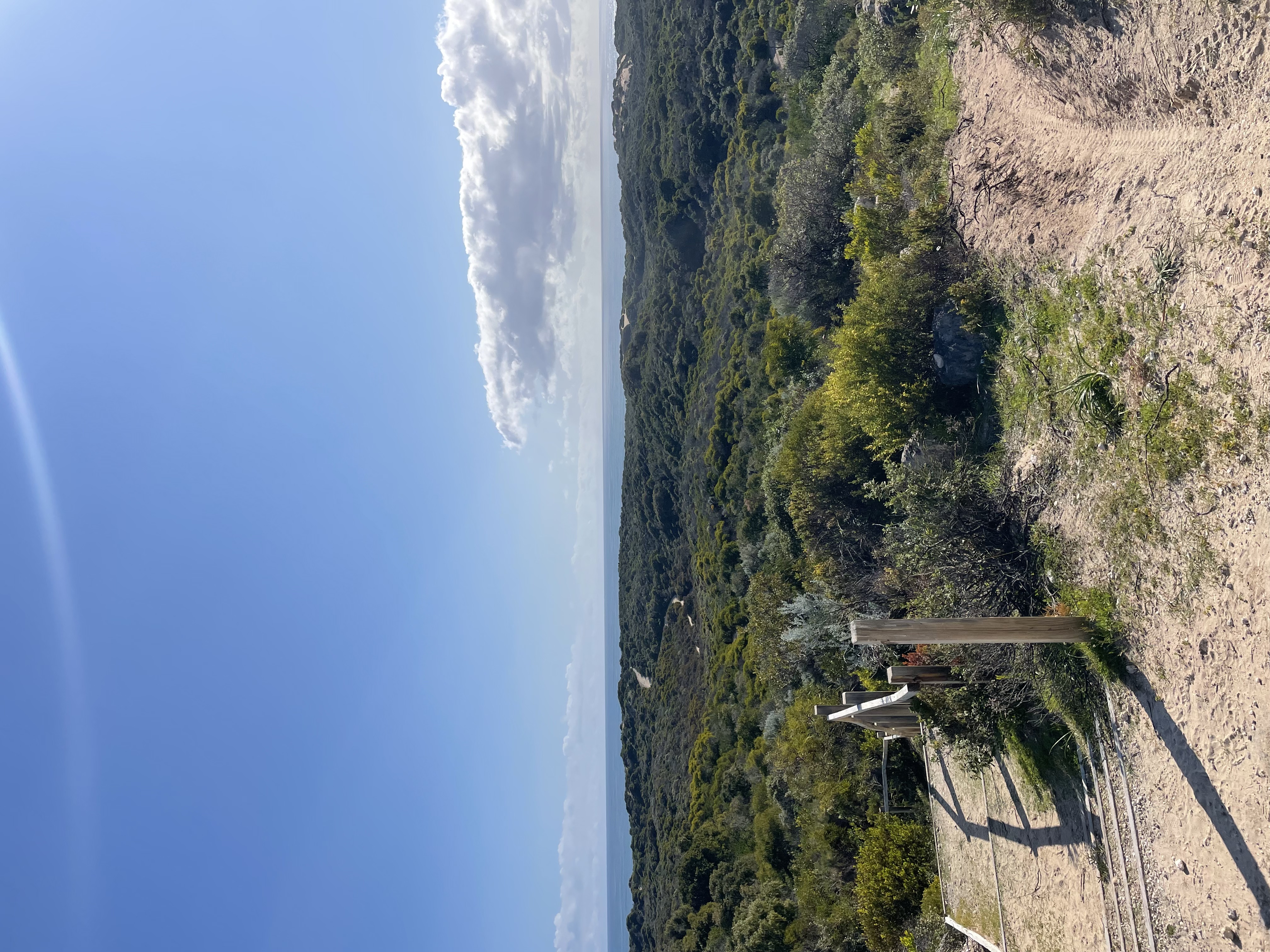
Yalgorup National Park
Yalgorup National Park is situated between Bunbury and Mandurah on the Swan Coastal Plain, approximately 100km south of Perth, Western Australia, covering an area of 131.41km2. Within the park lie the iconic Lake Clifton Tunnels, a series of 11 shafts that dug into a limestone hillside & rocky outcrops within Yalgorup National Park, near Preston Beach in Western Australia.
Yolka Maya (Warrungup Spring Reserve)
Yolka Maya, more commonly known as Warrungup Spring Reserve, is a sanctuary spanning approximately 32 hectares of preserved native bushland and foreshore. The City of Mandurah has embarked on a journey of rehabilitation and preservation in this area, supported by the Warrangup Spring Reserve volunteer group.