Bindjareb-Peel Geo Park Guide
Old Coast Road
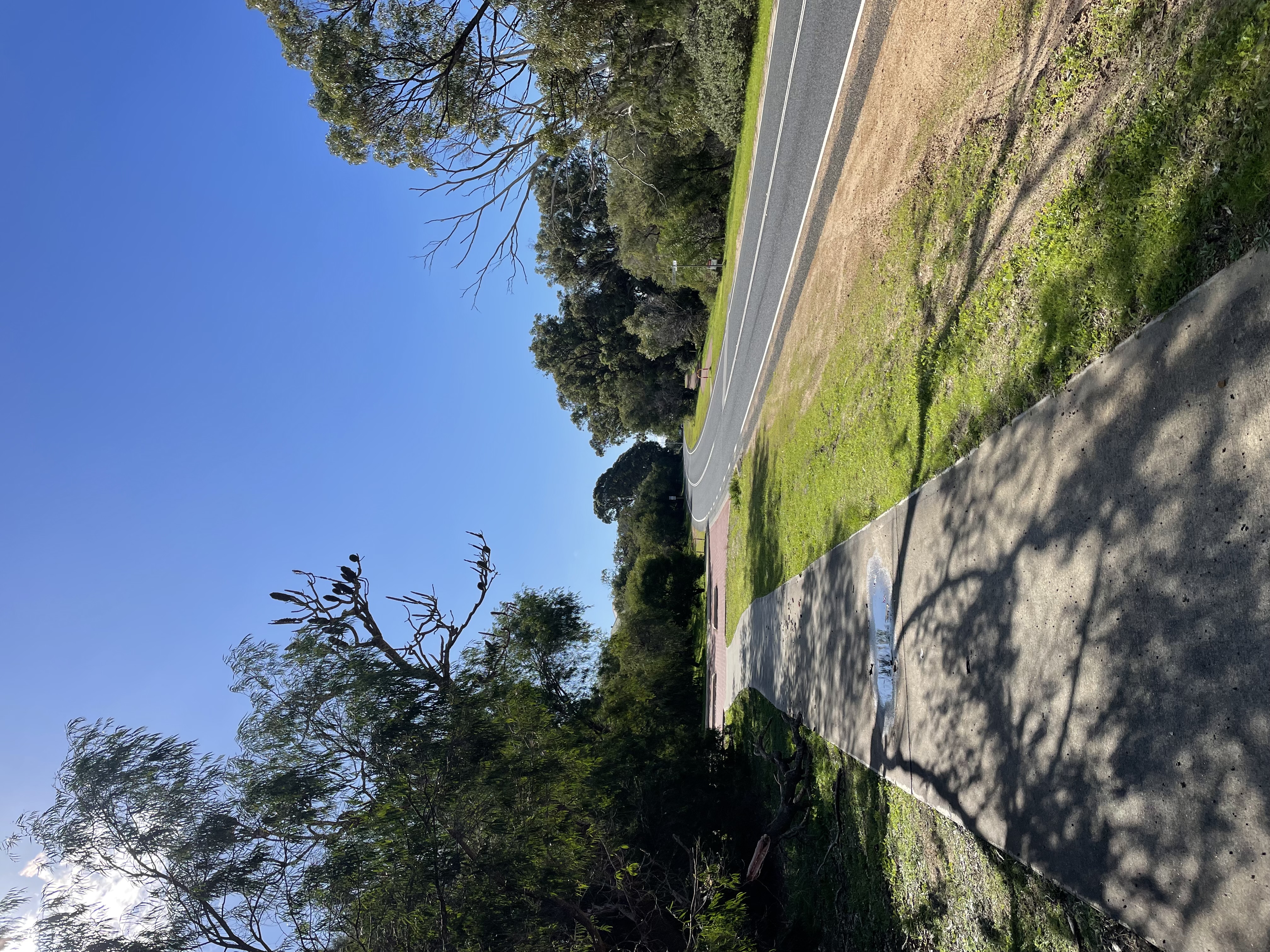
Old Coast Road is more than just a drive, it’s a journey through Mandurah’s natural beauty. It's a major transport route that runs along the western side of the Peel-Harvey Estuary, connecting Mandurah to Australind and Bunbury. The road offers a mix of estuarine views, open rural landscapes, and patches of native bushland, making it a scenic alternative to the Forrest Highway. It provides access to several local attractions, including estuary foreshore areas, fishing spots and nature reserves.
Accessibility
carparkdisability accesshard surface path
Activities
bird watchingmountain bikingnature photographywalking
Astrophotography potential
No Astrophotography Potential
Astrophotography grade
None
Facilities
campsitecaravan parkhotelnightime lighting
Way finding
No Way Finding Support
Address
Location
Dawesville Reserve, Old Coast Road, Dawesville, Perth, Western Australia, 6211, AUS
Land tenure
City of Mandurah
Entry road
Sealed Road (Bi-Directional)
Entry fee
No
Infrastructure grade
5
Natural amenity
5
Plumbed infrastructure
No
Visible powerlines
Yes
Coordinates (lat, lng)
-32.634, 115.638
Food & drink
Vineyard 28
Site Highlights
You may also want to know...
- Old Coast Road is more than just a drive, it’s a journey through Mandurah’s natural beauty.
- It's a major transport route that runs along the western side of the Peel-Harvey Estuary, connecting Mandurah to Australind and Bunbury.
- The road offers a mix of estuarine views, open rural landscapes, and patches of native bushland, making it a scenic alternative to the Forrest Highway.
Biotic features
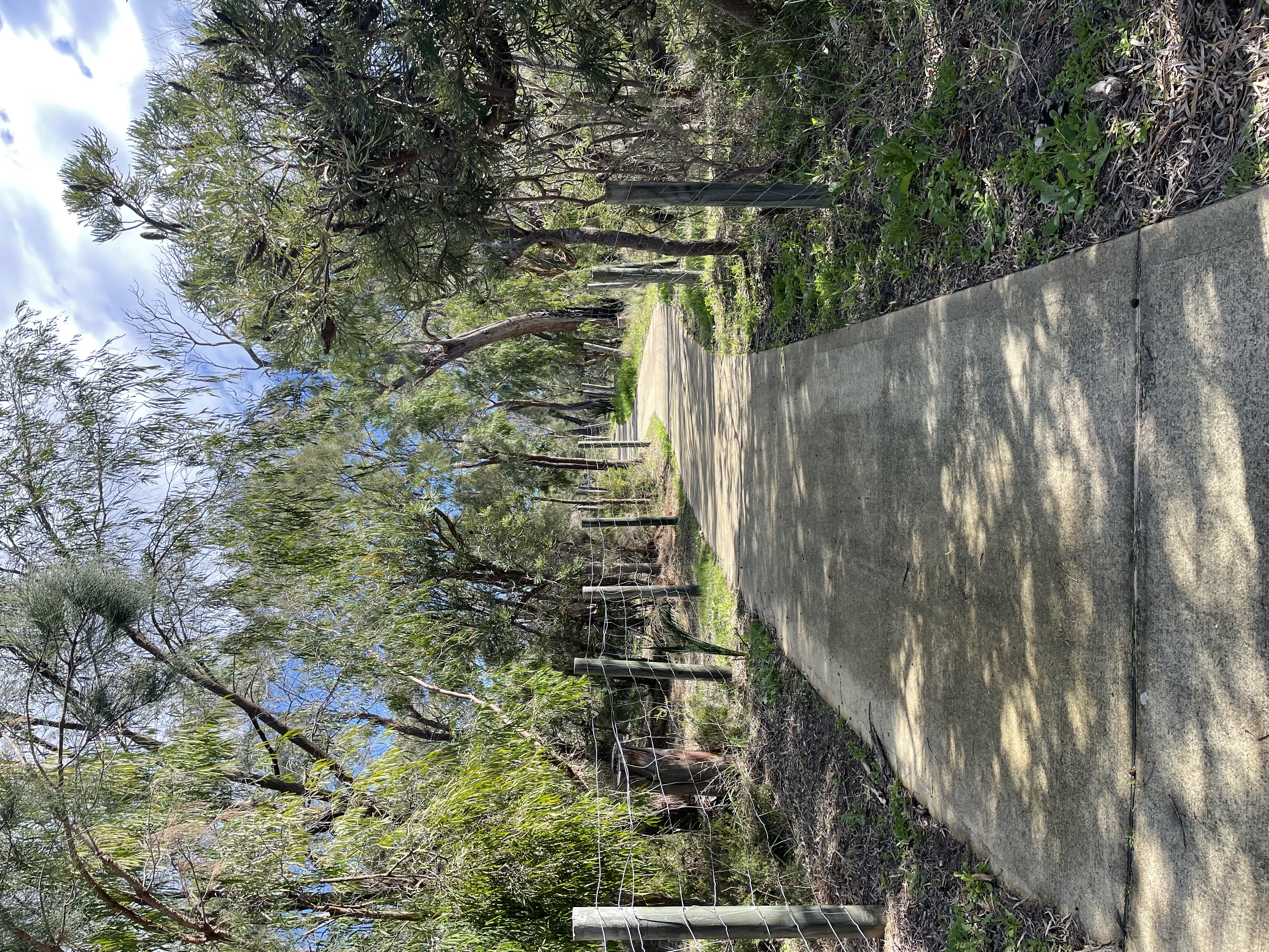
The roadside environment features tuart, marri, jarrah, peppermint, and banksia woodlands with a diverse understorey, including native orchids, and provides important foraging and roosting sites for black cockatoos. Regular sightings and frequent roadkill indicate the presence of western grey kangaroos, brushtail and ringtail possums, quenda, and brush-tailed phascogales
Abiotic features
Old Coast Road runs along the Mandurah–Eaton Ridge, a Pleistocene landform comprising of ancient sand dunes that overly Tamala Limestone. This alignment was deliberately chosen to avoid the low-lying depressions of the Yalgorup lake system to the west and the estuarine environments to the east. The ridge itself features a varied topography of undulating rises and falls across the dune landscape, shaped by long-term coastal and aeolian processes during interglacial periods. These elevations provide intermittent vistas of both the Indian Ocean and the estuary, highlighting the geomorphological complexity of the area
Cultural aspects
Old Coast Road was originally an indigenous walking route and was turned into a sealed coastal tourist route, completed in September 1969. The original walking track ran from Swan to the Vasse Rivers and passed along the plain between the Peel-Harvey Estuary and the Indian Ocean. Several Aboriginal sites have been identified in the vicinity of this roadway. (Yates, 2005).
Extra notes
More Informational Signage is needed. It is not easily accessible and has no formal carpark.