Bindjareb-Peel Geo Park Guide
Djilba (Peel Harvey Estuary System)
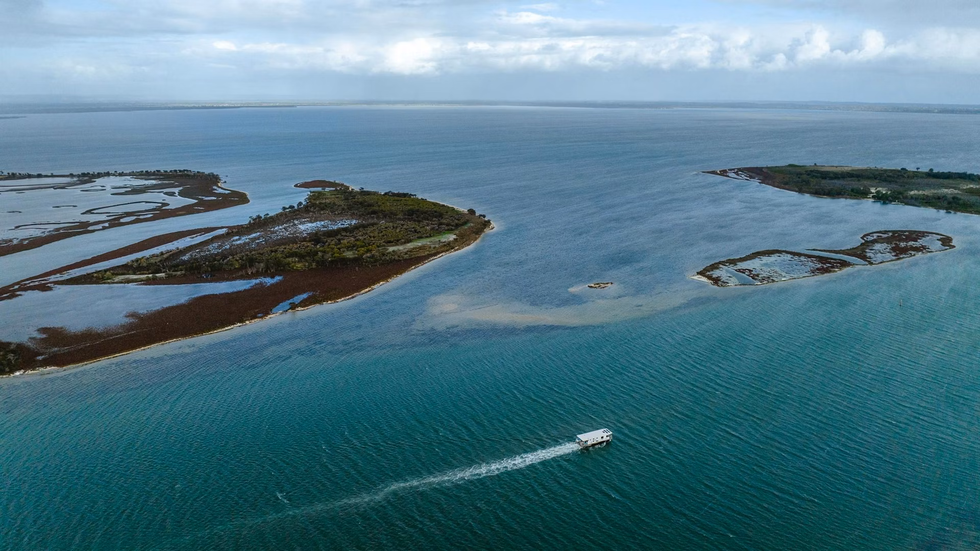
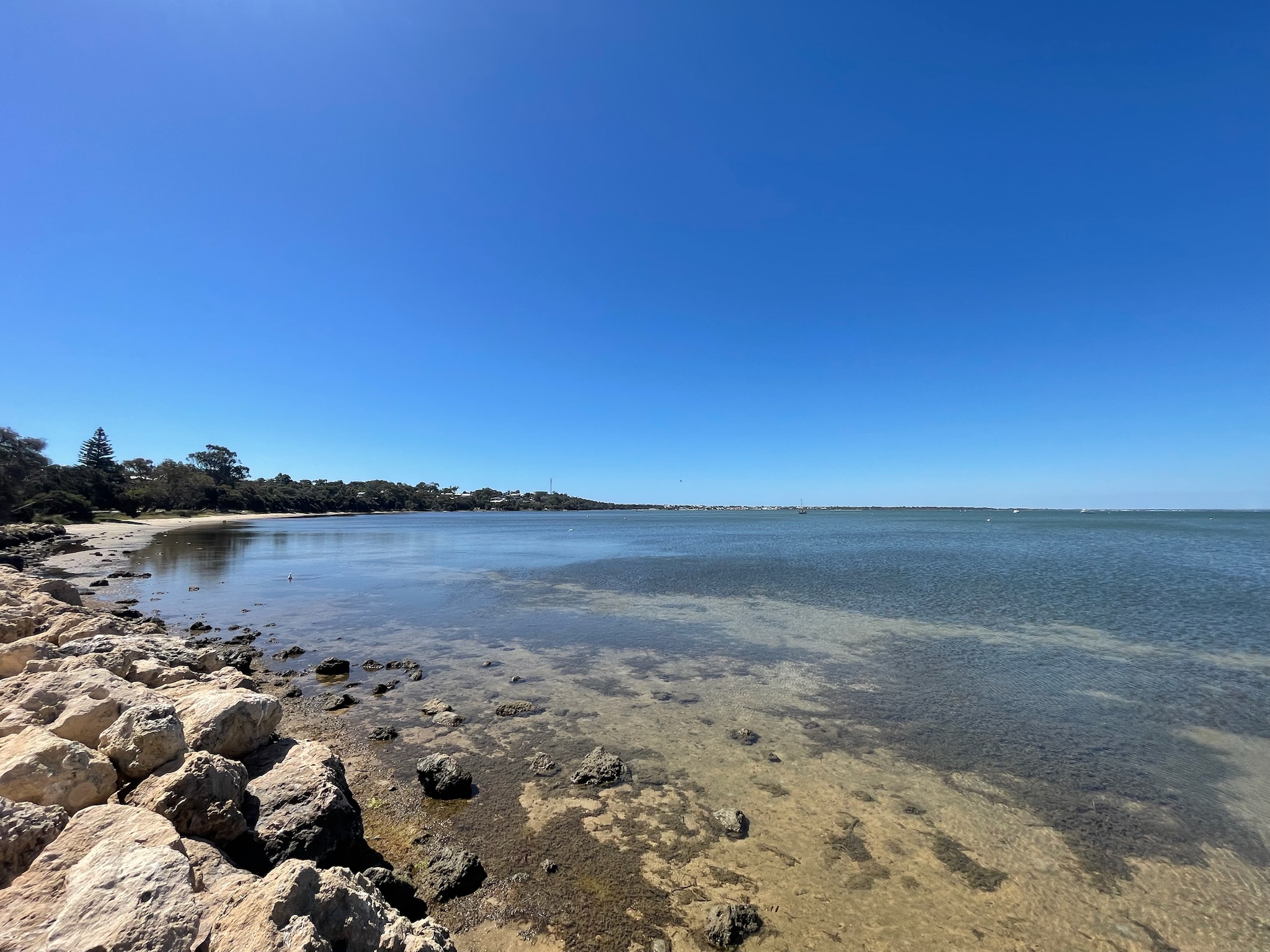
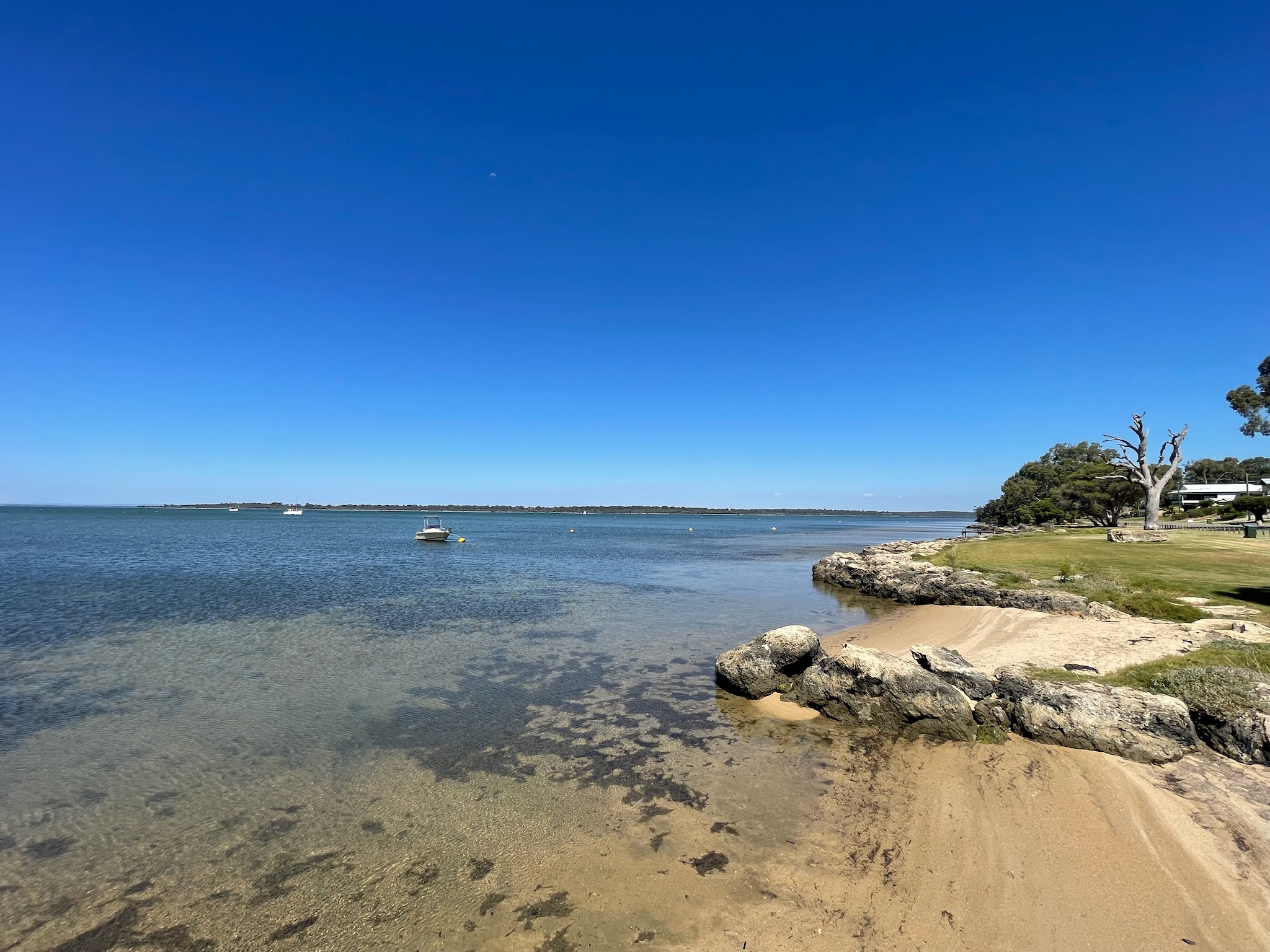
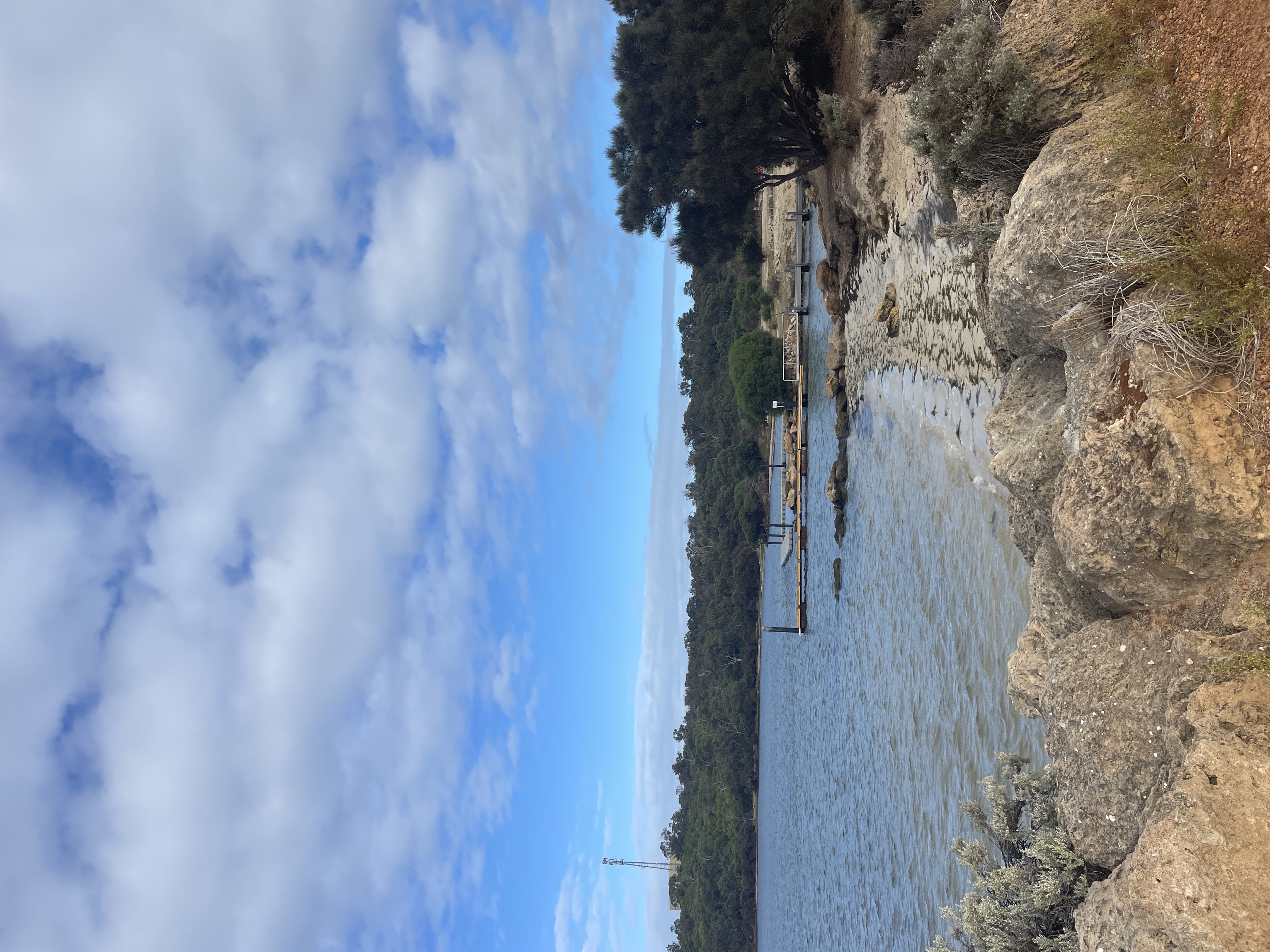
The Peel Harvey Estuary is a large system of shallow estuarine and saline, brackish and freshwater lakes, comprised of the Peel Inlet. It is connected to the Indian Ocean via the Dawesville Channel in Mandurah and the Harvey Estuary further south. The Peel Harvey Estuary is the largest and most diverse estuarine complex in south-western Australia with an area of 133km2 .
Accessibility
carparkdisability accessdisability parkinghard surface path
Activities
bird watchingcanoeing kayakingfishingnature photographyswimmingwalking
Astrophotography potential
No Astrophotography Potential
Astrophotography grade
None
Facilities
bbqbike rackcampsitecaravan parkgrass areahotelnightime lightingpicnic areatoiletviewing platform
Way finding
No Way Finding Support
Address
Location
4 Thisbe Dr, Dawesville, Perth, Western Australia, 6211
Indigenous community
Bindjareb people
Land tenure
City of Mandurah
Entry road
Sealed Road (Bi-Directional)
Car park distance (m)
20
Entry fee
No
Infrastructure grade
9
Natural amenity
8
Plumbed infrastructure
No
Visible powerlines
No
Coordinates (lat, lng)
-32.612, 115.643
Food & drink
Flics Kitchen, Redmanna Restaurant, The Cray Mandurah
Tours & experiences
Peel-Harvey Estuary Paddle Trail Network, Sailing Kayak Adventure through the Peel Harvey Estuary
Site Highlights
You may also want to know...
- The Peel Harvey Estuary is a large system of shallow estuarine and saline, brackish and freshwater lakes, comprised of the Peel Inlet.
- It is connected to the Indian Ocean via the Dawesville Channel in Mandurah and the Harvey Estuary further south.
- The Peel Harvey Estuary is the largest and most diverse estuarine complex in south-western Australia with an area of 133km2 .
Biotic features
Flora: The Peel-Harvey Estuary became eutrophic due to an influx of nutrients. This led to seasonal outbreaks of macroalgae, including harmful blooms of the cyanobacterium, Nodularia spumigena. The presence of sunlight, stagnant condition and warm, nutrient-rich water created ideal conditions for these blue-green algae to flourish. Professor Arthur McComb and Ernest Hodgkin determined that the primary driver of these algal blooms was high phosphorus levels in the water, largely originating from agricultural and industrial runoff within the catchment. Algal blooms continue to pose a problem, with various nuisance and harmful species, still regularly appearing in the lower sections of the Murray and Serpentine Rivers. Fauna: 104 wetland-dependent birds have been recorded at this site, 1% of the population of 8 different species are supported by the Peel-Harvey Estuary. There are also 80-90 resident bottlenose dolphins and 70 marine and estuarine species of fish that currently reside in the Peel-Harvey estuary.
Abiotic features
The Dawesville Cut is an artificial channel linking the Peel-Harvey Estuary to the Indian Ocean, built between 1990 and April 1994 to address a major environmental issue. By enabling the regular exchange of seawater through daily tides, the channel helps prevent algae accumulation in the estuary. It measures approximately 2.5 kilometres in length, 200 metres in width, and has a depth ranging from 6 to 6.5 metres. The area sits on the Swan Coastal Plain, a low-lying strip of land extending along the southwestern coast of WA. The plain consists mainly of: Quaternary coastal dune sands, which are well-sorted, fine to medium quartz sand deposited by wind and marine processes. Holocene estuarine and alluvial sediments such as clay, silt, and sand are deposited by the estuary and rivers.
Cultural aspects
Aboriginal: The Peel-Harvey Estuary holds deep cultural and spiritual value for the Noongar people. A dreaming story shared by George Walley tells of the Waugal, a rainbow serpent who created the waterways. A two-metre limestone ‘marker’ once stood near the present-day Dawesville Cut, aligned with a hill, removed during channel construction. The site is believed to be a burial ground for Nyungar people killed in conflict and was also used for signalling across the Harvey Inlet (Prince, Hovingh & McDonald 1996).
European: In 1829, land in the Swan River Colony was offered at one acre per 1s 6d—far cheaper than in England. Settlers faced harsh conditions, including poor soil and isolation. That November, Lieutenant William Preston led the first recorded European exploration of the Peel-Harvey estuary and described “a considerable fertile plain” near the Harvey River. Still, environmental difficulties and rising tensions with Aboriginal people limited further expansion (Bradby, 1997).