Bindjareb-Peel Geo Park Guide
Island Point Reserve
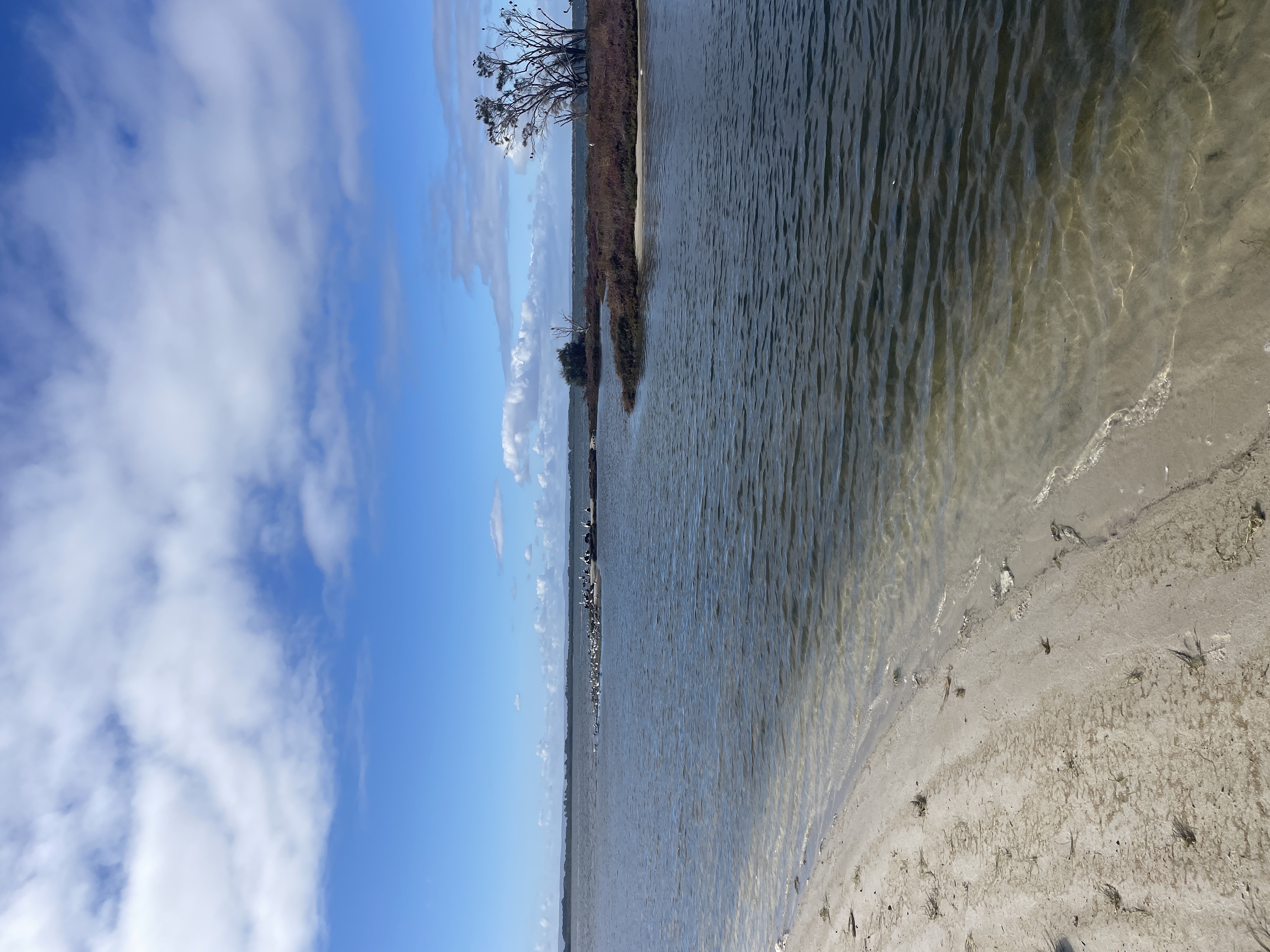
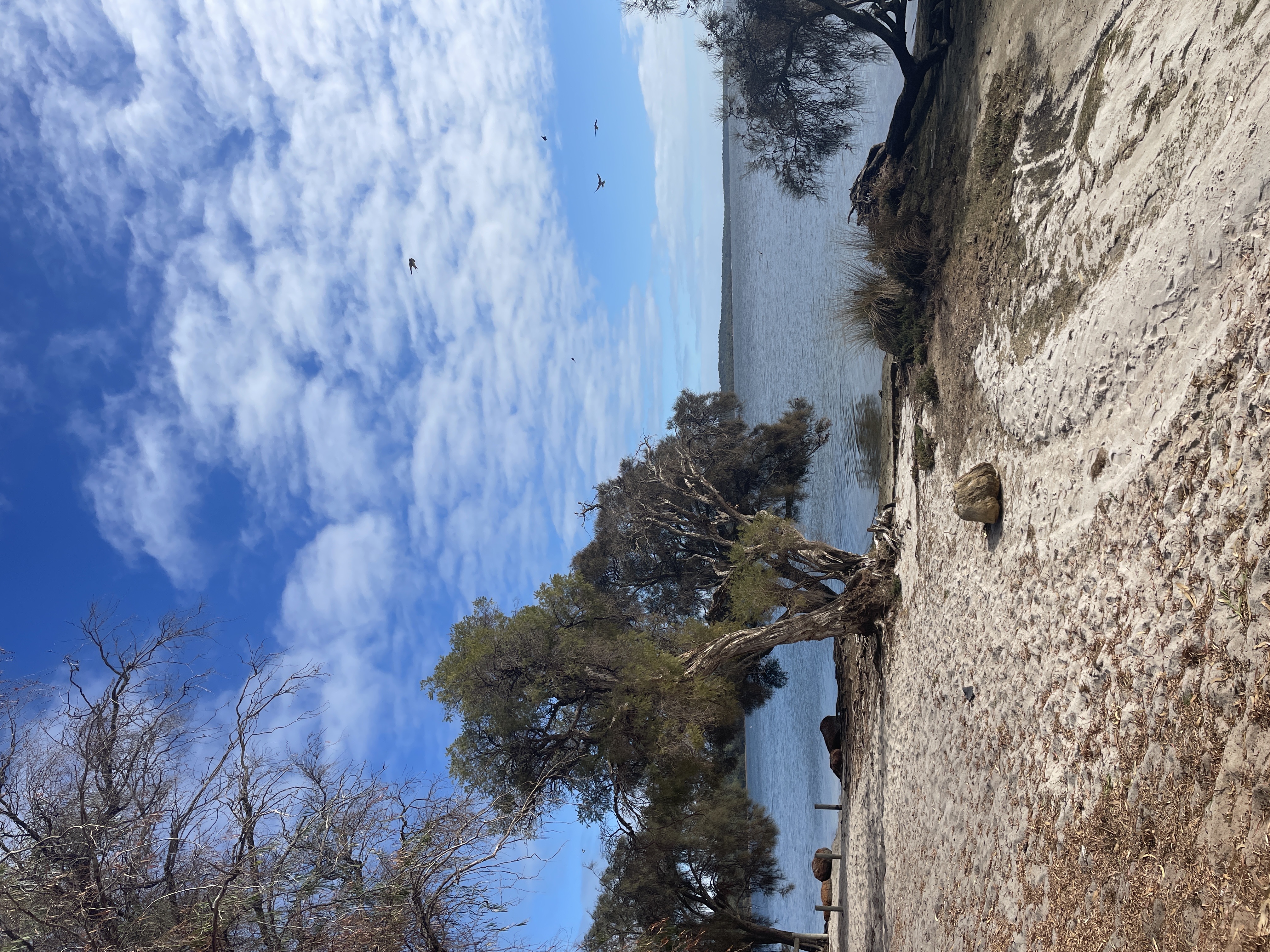
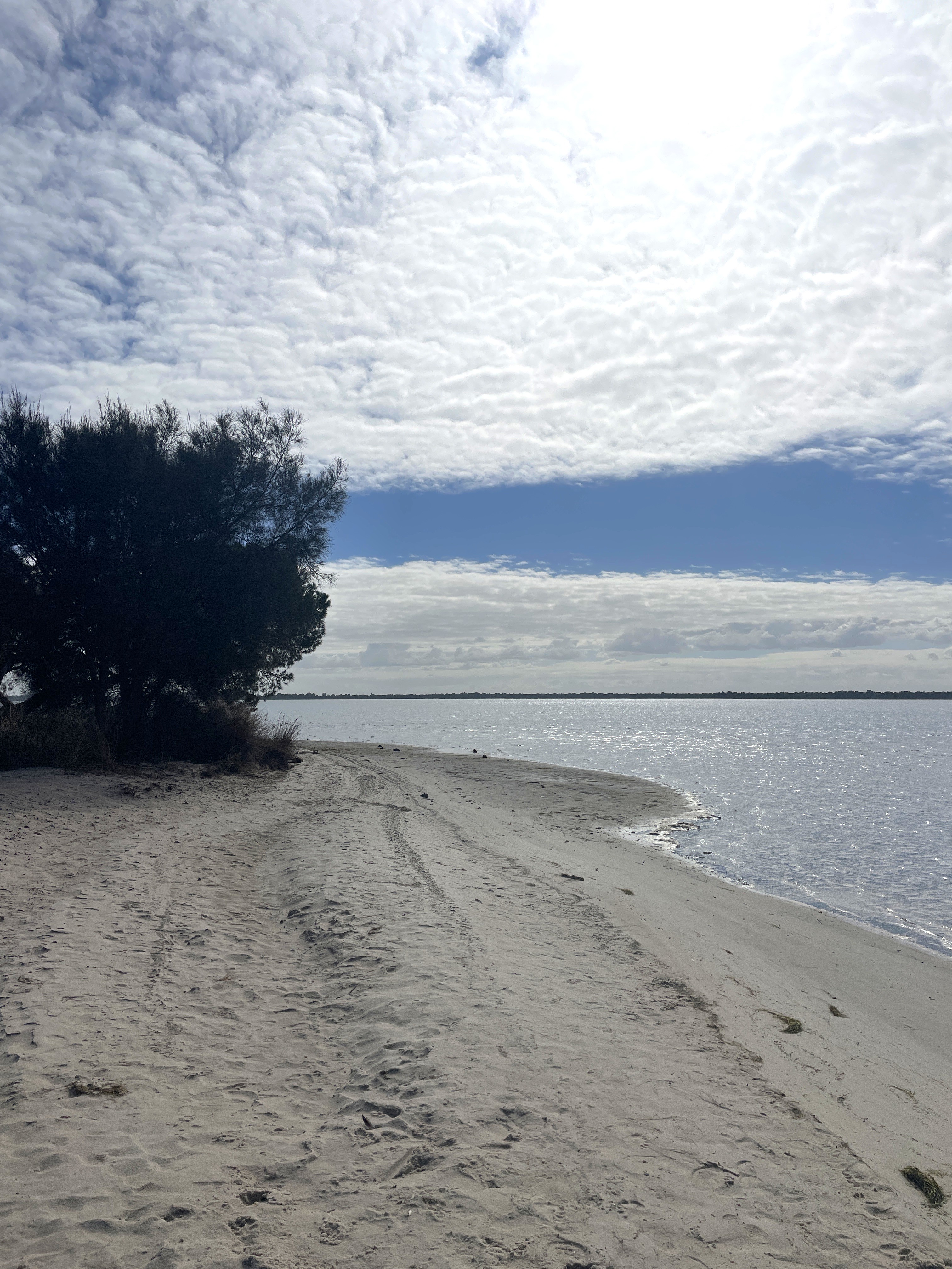
Island Point Reserve sits along the edge of the Peel-Harvey Estuary, it extends across 32ha of bushlands and foreshore, ideal for swimming and birdwatching. Visitors can enjoy bushwalking on scenic trails, make use of picnic tables and access boat launch points at two separate entrances. The reserve is situated on a narrow strip of land between the Indian Ocean and the Peel Inlet and is home to a variety of flora and fauna, including rare and endangered species.
Accessibility
carparksoft surface path
Activities
bird watchingcanoeing kayakingfishingmountain bikingnature photographyswimmingwalking
Astrophotography potential
No Astrophotography Potential
Astrophotography grade
None
Facilities
bbqcaravan parkpicnic areatoilet
Way finding
No Way Finding Support
Address
Location
Island Point Reserve, Island Point Road, Herron, Mandurah, Western Australia, 6211, AUS
Indigenous community
Bindjareb people
Land tenure
City of Mandurah
Entry road
Unsealed Road (Gravel)
Car park distance (m)
30
Entry fee
No
Infrastructure grade
7
Natural amenity
9
Plumbed infrastructure
Yes
Visible powerlines
No
Coordinates (lat, lng)
-32.754, 115.696
Food & drink
Thorny Devil Brewery, Old Coast Brewery
Tours & experiences
Island Point Reserve Possum Loop, Island Point Reserve Trail - The short loop should only take you 40 minutes to complete and will lead you through some gorgeous wetlands and wilderness
Site Highlights
You may also want to know...
- Island Point Reserve sits along the edge of the Peel-Harvey Estuary, it extends across 32ha of bushlands and foreshore, ideal for swimming and birdwatching.
- Visitors can enjoy bushwalking on scenic trails, make use of picnic tables and access boat launch points at two separate entrances.
- The reserve is situated on a narrow strip of land between the Indian Ocean and the Peel Inlet and is home to a variety of flora and fauna, including rare and endangered species.
Biotic features
Flora: There is a 70ha bushland reserve that borders the Harvey Estuary. This biodiverse reserve is made up of peppermint dominant woodland, banksia mixed woodland, temperate saltmarsh and sedgeland environments. The most dominant tree species include; marri, jarrah, tuart, peppermint and banksia. The diverse understory within the reserve includes 62 species of native orchids and a variety of rare wildflowers.
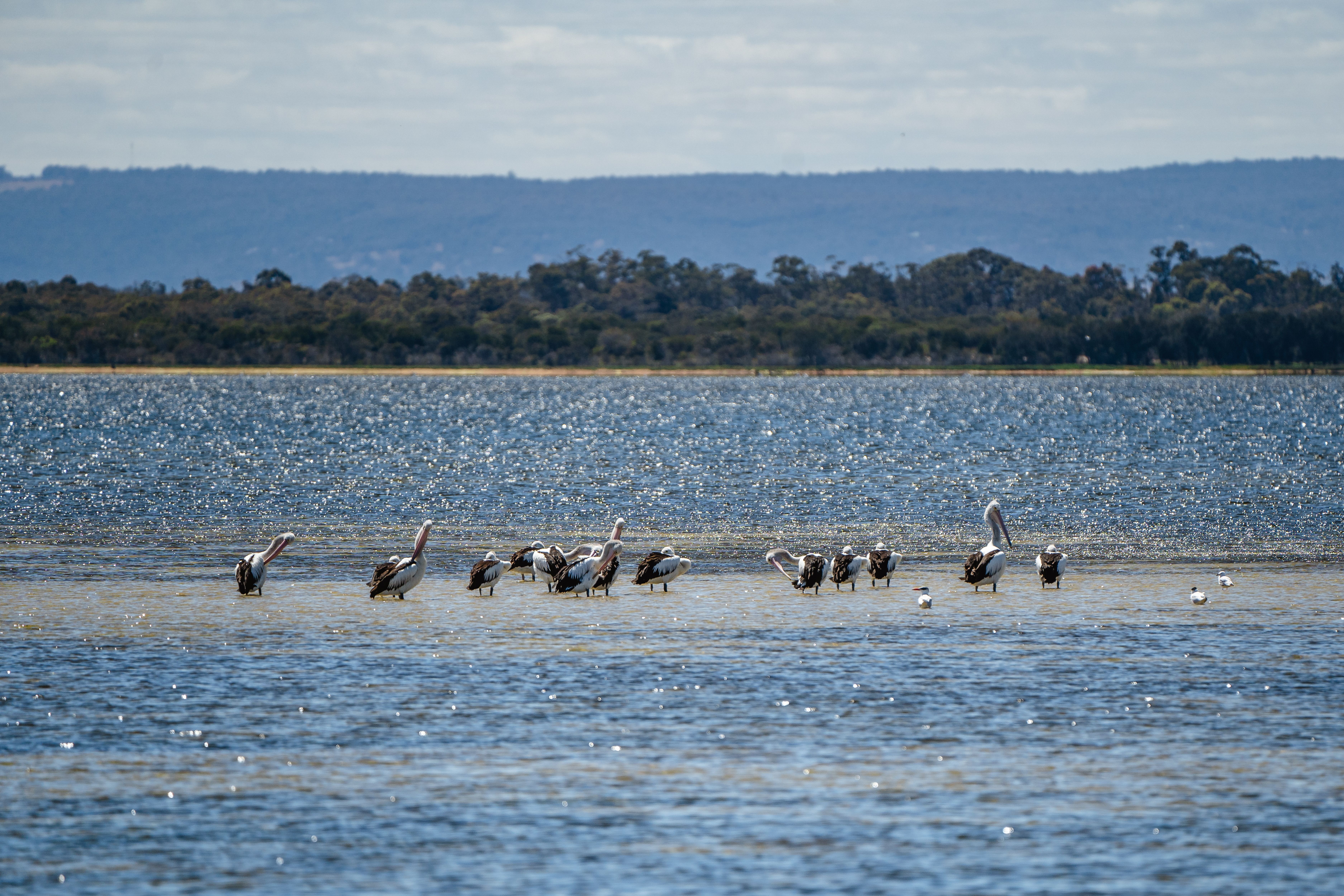
Fauna: There is a large population of the critically endangered western ringtail possum on the reserve along with brushtail possums, brush-tailed phascogale, western grey kangaroo, bush birds, waterbirds and other birds of prey. Active osprey nesting platforms are adjacent to the estuary.
Abiotic features
The reserve sits on the eastern side of Mandurah-Eaton Ridge (a long, narrow sand and limestone ridge that extends north-south through the Peel region of Western Australia. It's composed of tertiary-aged sedimentary rocks, including the Tamala Limestone, the Kondinin Formation, and the Yarragadee Formation). The Tamala Limestone is a fossil-rich limestone that forms the uppermost layer of the ridge. The Kondinin Formation is a sandstone and shale unit that underlies the Tamala Limestone and is known for its distinctive pink and green coloration. The Yarragadee Formation is a deeper, more poorly exposed unit, composed of sandstone and siltstone. The Mandurah-Eaton Ridge was formed during the Paleocene and Eocene epochs, between 66 & 34 million years ago, as a result of tectonic uplift and subsequent erosion by wind and water. The ridge, contains several aquifers that provide water to the surrounding region and supports a diverse range of flora adapted to the geology and of the area.
Cultural aspects
Aboriginal: The Island Point Reserve was used as a major crossing link between west and east of the Peel Harvey Estuary, specially for the indigenous people. The indigenous people traditionally camped in the area and used the shallow waters to cross during low tide. The site also served as a historic stock route between Pinjarra and Bunbury across the Harvey Estuary. Settlers in southern Mandurah depended heavily on this crossing, moving cattle inland every six months from poor coastal pastures to prevent “coastie disease.” Additionally, the Possum Loop trail is a terrific way to discover this region of Noongar significance, with interpretative signage explaining the regions Noongar bush-tucker and medicine.
Extra notes
Toilet block is in a state of disrepair