Bindjareb-Peel Geo Park Guide
Mandurah Eaton Ridge
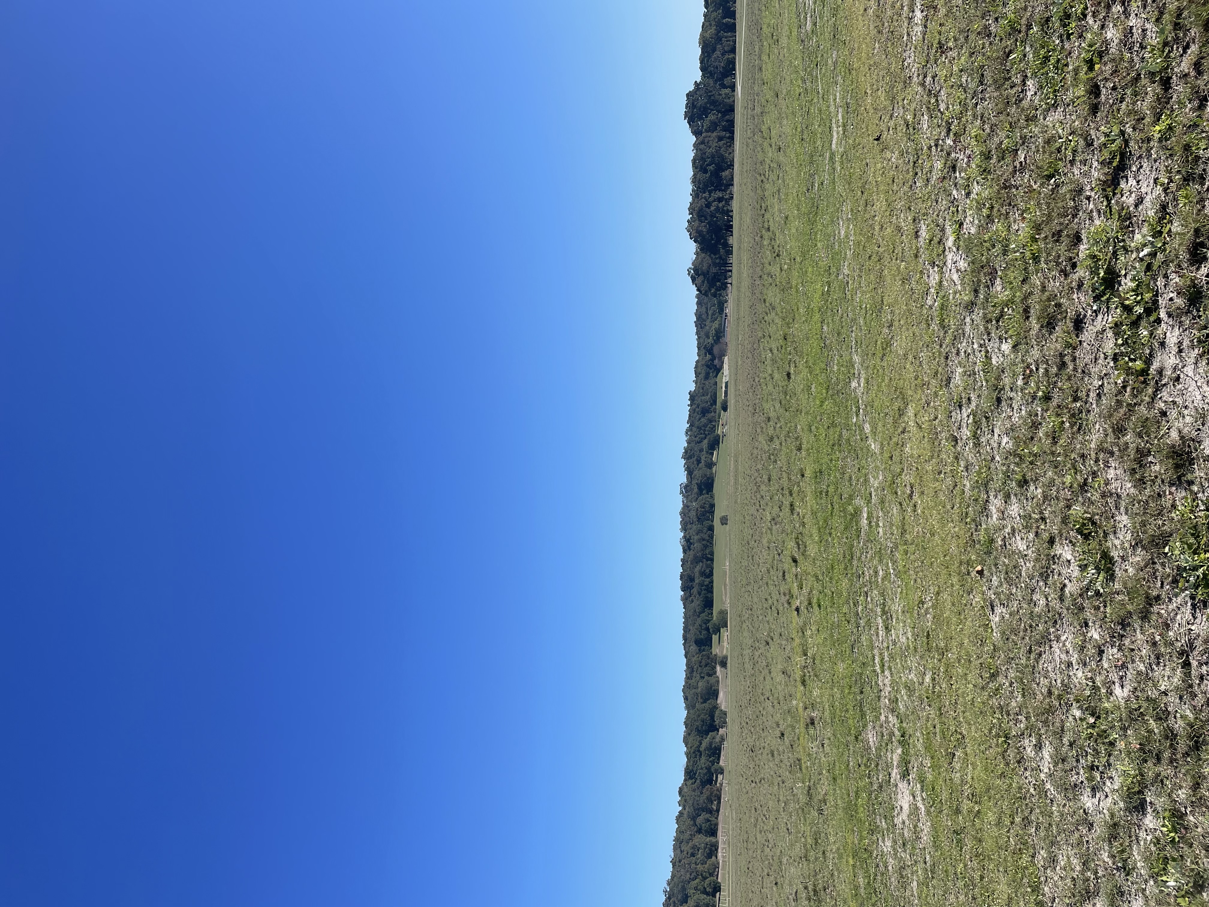
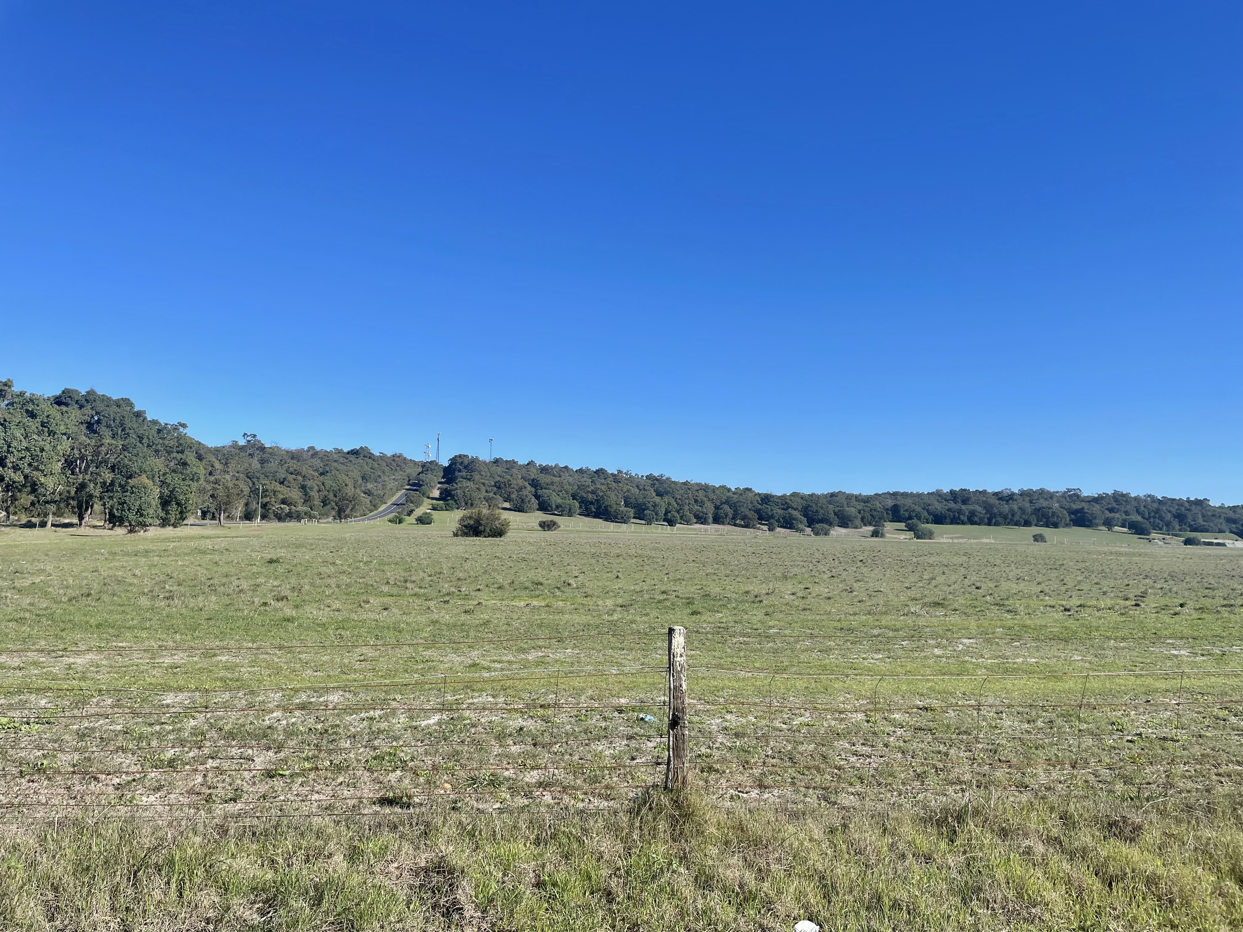
Mandurah Eaton Ridge is visible from Lake Clifton Road on the DBCA Treasure Block reserve. The ridge stretches approximately 70km long between Dawesville and Eaton and represents coastal barrier building during Pleistocene interglacial higher sea levels. Visitors can witness an elevated sand dune and limestone ridge between depressions of the Harvey Estuary and the Bassendean Sands (East) and the Yalgorup Plain and Lake Clifton (West).
Accessibility
disability access
Activities
bird watchingnature photography
Astrophotography potential
No Astrophotography Potential
Astrophotography grade
None
Facilities
campsitecaravan parknightime lighting
Way finding
No Way Finding Support
Address
Location
Lake Clifton Road, Lake Clifton, Waroona, Western Australia, 6215, AUS
Land tenure
DBCA Yalgorup National Park and City of Mandurah Reserves
Entry road
Sealed Road (Bi-Directional)
Entry fee
No
Infrastructure grade
1
Natural amenity
4
Plumbed infrastructure
No
Visible powerlines
Yes
Coordinates (lat, lng)
-32.818, 115.709
Food & drink
Thorny Devil Brewery
Site Highlights
You may also want to know...
- Mandurah Eaton Ridge is visible from Lake Clifton Road on the DBCA Treasure Block reserve.
- The ridge stretches approximately 70km long between Dawesville and Eaton and represents coastal barrier building during Pleistocene interglacial higher sea levels.
- Visitors can witness an elevated sand dune and limestone ridge between depressions of the Harvey Estuary and the Bassendean Sands (East) and the Yalgorup Plain and Lake Clifton (West).
Biotic features
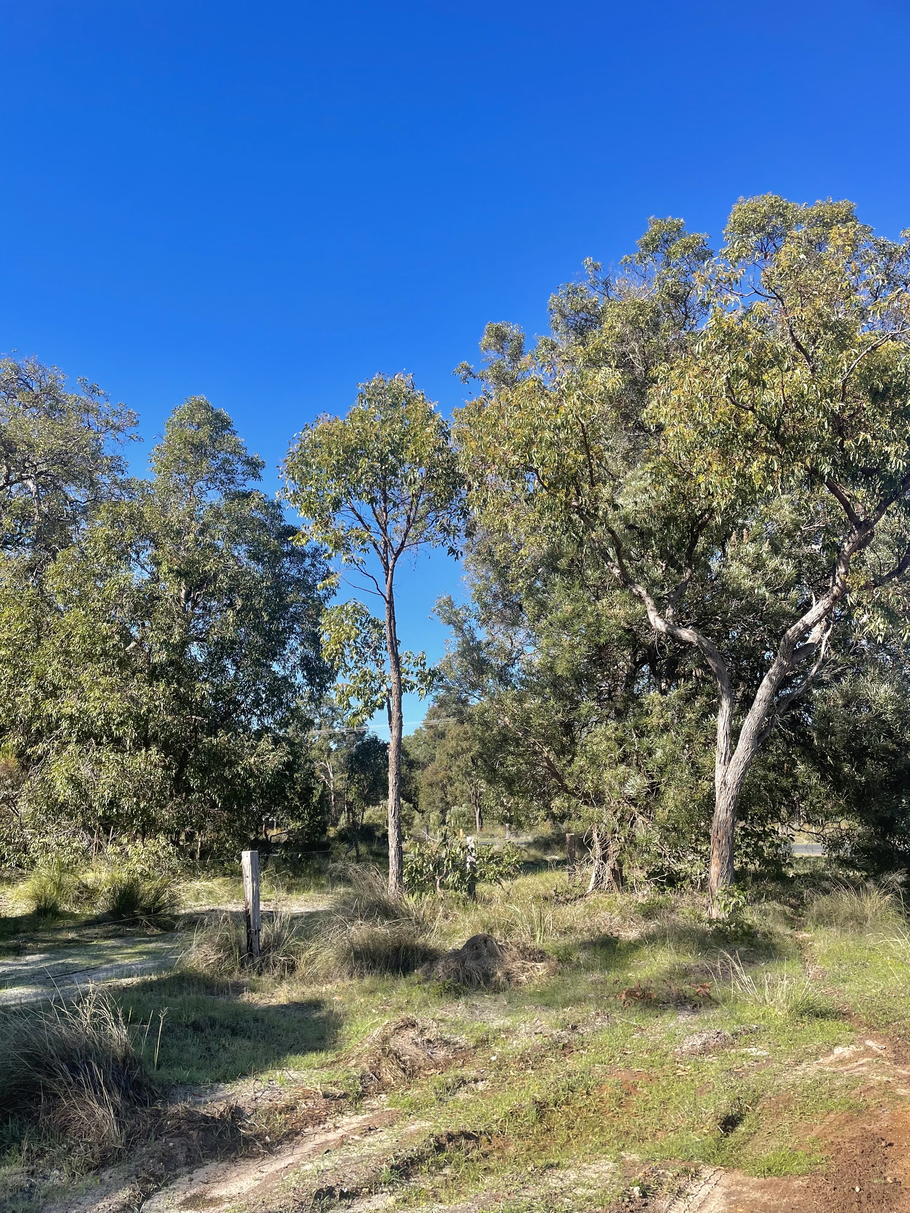
Threatened Ecological Communities (TECs) of tuart (Eucalyptus gomphocephala) woodlands are established on the limestone ridges, forming an important habitat for a diverse range of fauna and understorey flora adapted to the calcareous soils. On the sandier sections of the ridge, banksia woodlands support a rich assemblage of species, including nectar-feeding birds, small mammals, and a complex understorey of shrubs and wildflowers. In areas where the sand layer is shallow and directly overlies limestone outcrops, heath scrub communities dominate, composed of low, dense vegetation that provides habitat for specialist reptile and invertebrate species. Collectively, these communities contribute to the region’s biodiversity and ecological connectivity, making the ridge a significant refuge for both flora and fauna.
Abiotic features
This ridge consists primarily of quartz sand interspersed with limestone lenses, reaching elevations of up to 70 m, and overlies Tamala Limestone. The Spearwood dune system reflects interglacial Pleistocene sedimentary processes, formed through the accumulation of nearshore and coastal marine deposits during interglacial periods. These deposits subsequently lithified into shore-parallel coastal limestones, which were later subject to karst development, weathering, and calcrete formation during subsequent interglacial phases. The area features a shoreline sand barrier dominated by quartz sands with localized calcareous sand lenses, exposing Pleistocene dune sands, Tamala Limestone, and associated karst formations.
Extra notes
Infrastructure is limited, more signage and infrastructure needed.