Bindjareb-Peel Geo Park Guide
North Dandalup Dam
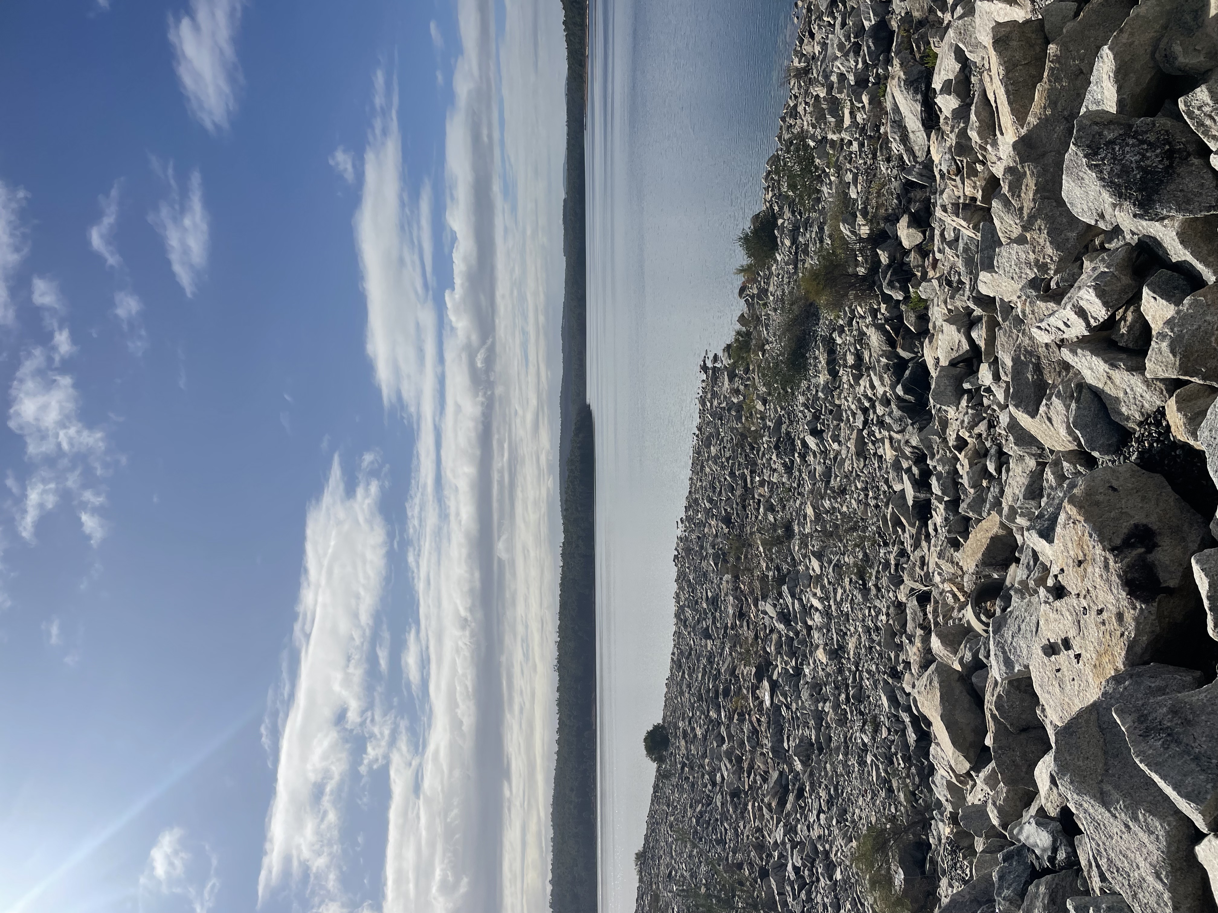
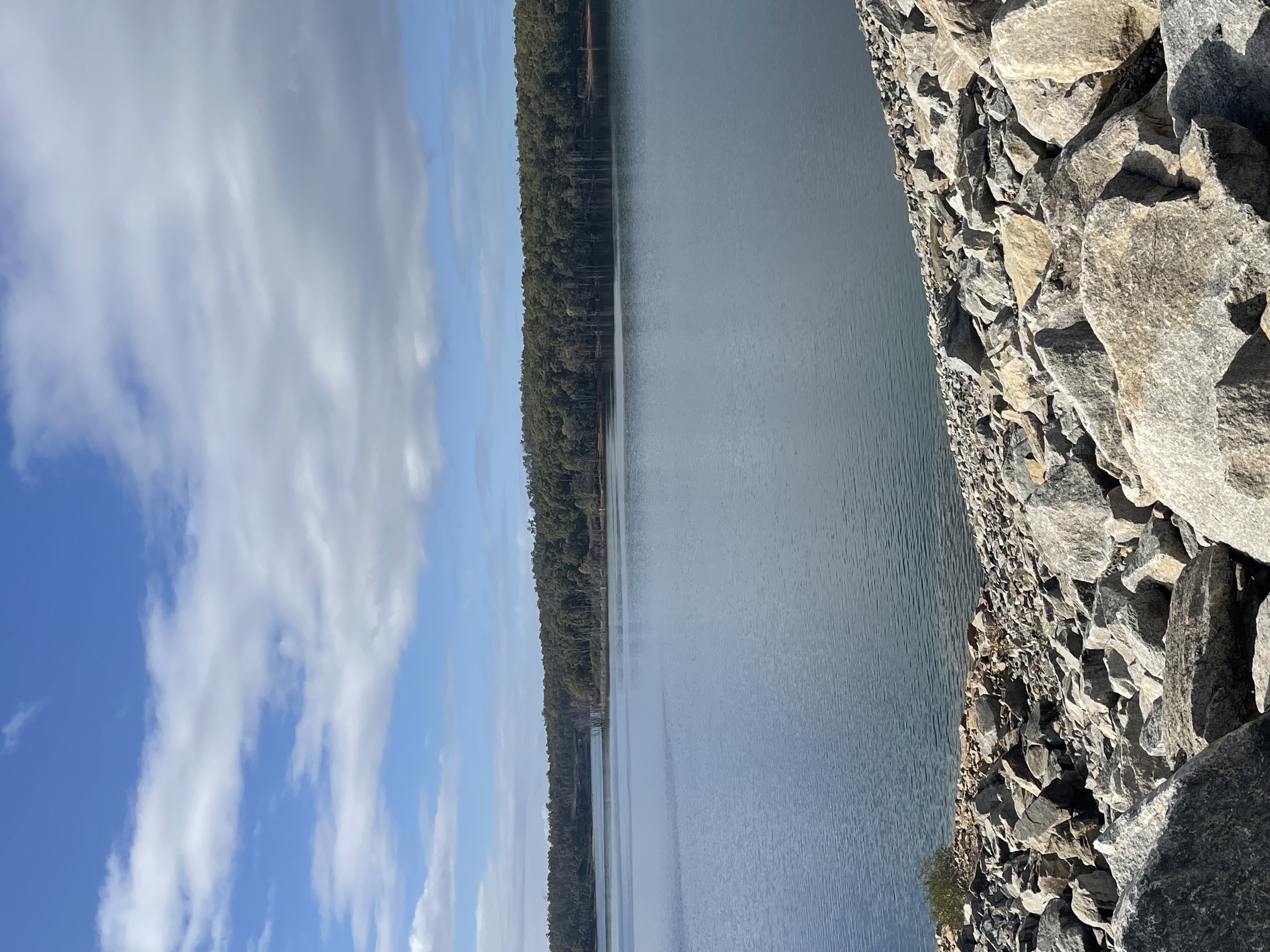
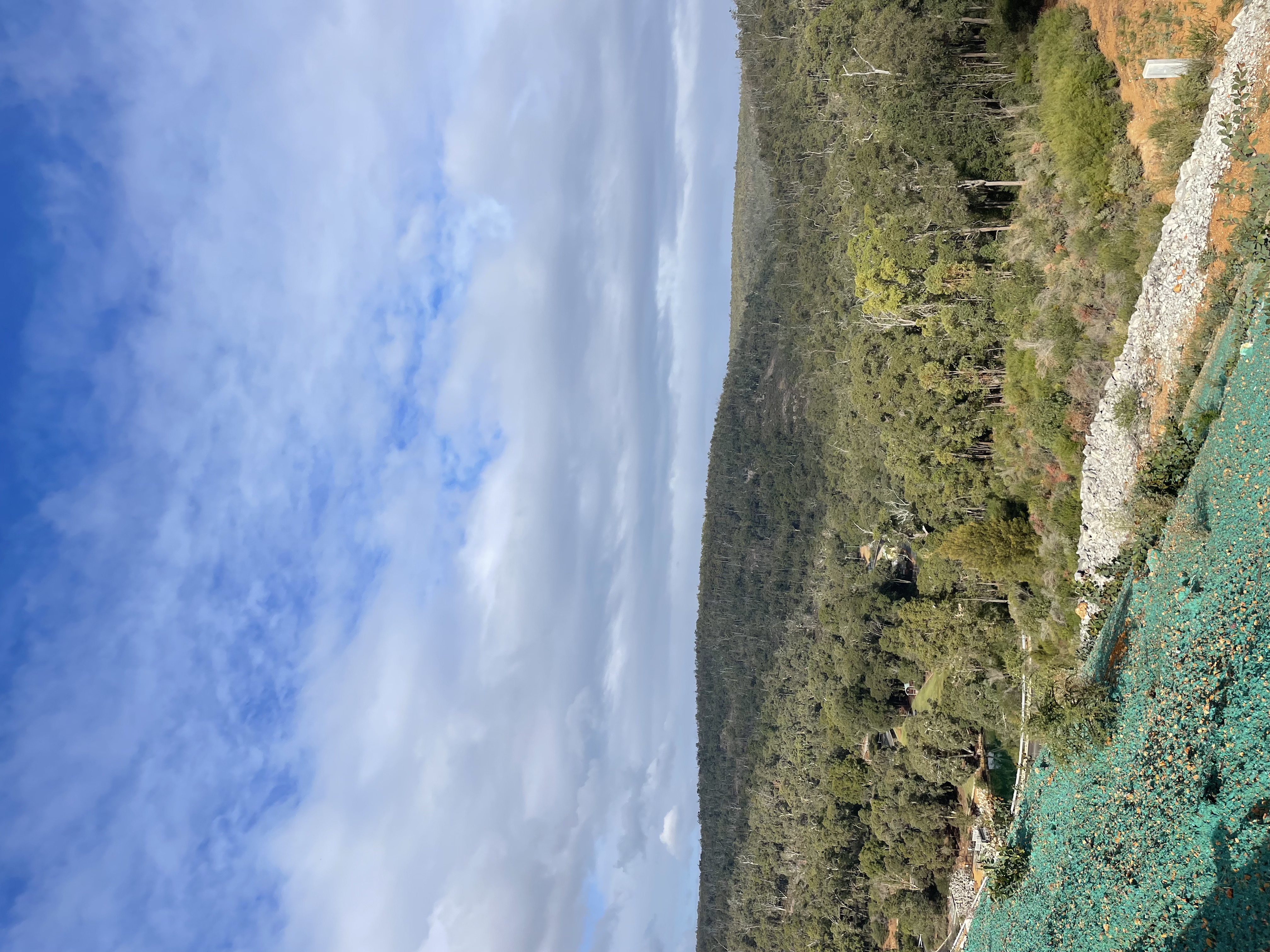
North Dandalup Dam was established in 1994 and is the newest Dam to serve Perth, it stores water from the Dandalup River Catchment (153km^2). The dam services areas of the South-West, the Wheatbelt and the Goldfields. The North Dandalup Dam is located 5km east of the town of North Dandalup, nestled within the Darling Range.
Accessibility
carparkdisability accessdisability parkinghard surface path
Activities
bird watchingnature photographyswimmingwalking
Astrophotography potential
No Astrophotography Potential
Astrophotography grade
None
Facilities
bbqcaravan parkgrass areanightime lightingpicnic areatoiletviewing platform
Way finding
No Way Finding Support
Address
Location
North Dandalup Dam, Scarp Road, North Dandalup, Murray, Western Australia, 6207, AUS
Indigenous community
Bindjareb people - part of the larger Noongar Nation
Land tenure
Shire of Murray
Entry road
Sealed Road (Bi-Directional)
Car park distance (m)
30
Entry fee
No
Infrastructure grade
9
Natural amenity
9
Plumbed infrastructure
Yes
Visible powerlines
No
Coordinates (lat, lng)
-32.519, 116.015
Food & drink
Red Gum Winery, Carroholly Orchard and Wine Tree Cidery
Tours & experiences
North Dandalup Circuit, North Dandalup Dam via Jarrahdale Railway Trail
Site Highlights
You may also want to know...
- North Dandalup Dam was established in 1994 and is the newest Dam to serve Perth, it stores water from the Dandalup River Catchment (153km^2).
- The dam services areas of the South-West, the Wheatbelt and the Goldfields.
- The North Dandalup Dam is located 5km east of the town of North Dandalup, nestled within the Darling Range.
Biotic features
Fauna: Survey work carried out in 2012, downstream of Lakes Road, indicated that the diversity of native fish and crayfish was stable. Four out of the five expected species were identified, yet the abundance for all species was generally low.
Flora: The area is dominated by riparian vegetation which services the dams' microhabitats, such as river pools, through providing shade. This vegetation is in degrading condition due to being outcompeted by exotic species, according to river condition assessments in 2012. Erosion and low bank stability are continuing to intensify by the effects of encroaching urban land use.
Abiotic features
The dam forms part of the Archaean Yilgarn block and is primarily composed of granitoid rock with dolerite dykes and is capped with laterite (Kuczera et al., 2015). Since the construction of the North Dandalup Dam, the flow patterns downstream have changed significantly, primarily because of the dam itself. These changes have been further influenced by reduced rainfall in the downstream catchment and declining groundwater levels, both of which have led to decreased local water flows (CSIRO and the Department of Water and Environmental Regulation, 2017).
Cultural aspects
Aboriginal culture: Numerous Aboriginal heritage sites have been documented within the North Dandalup Dam Catchment, particularly along waterways. However, not all culturally significant sites have been formally registered.
European: The North Dandalup Dam project reflects the changing needs of the region, transitioning from military and post-war usage to a crucial water infrastructure element.
Prior to the construction of North Dandalup Dam, the environmental site was used as a guerilla training camp for the Volunteer Defence Corps. These men were to remain behind the invading Japanese and conduct subversive warfare against them. Between February 1942 and March 1952, the camp was used as a Prisoner of War Work Camp, in which German soldiers engaged in firewood collection and stationed at this location in order to save daily travel from “ No 16 Camp at Marrinup” (Dunn, 2015).
Extra notes
The North Dandalup River supports local recreational, educational and aesthetic values.
Local schools can utilise the dam for investigating water quality.
The river also meanders past the properties of many local people to whom it has lifestyle and aesthetic values.