Bindjareb-Peel Geo Park Guide
Yoordinggaap (Harvey River)
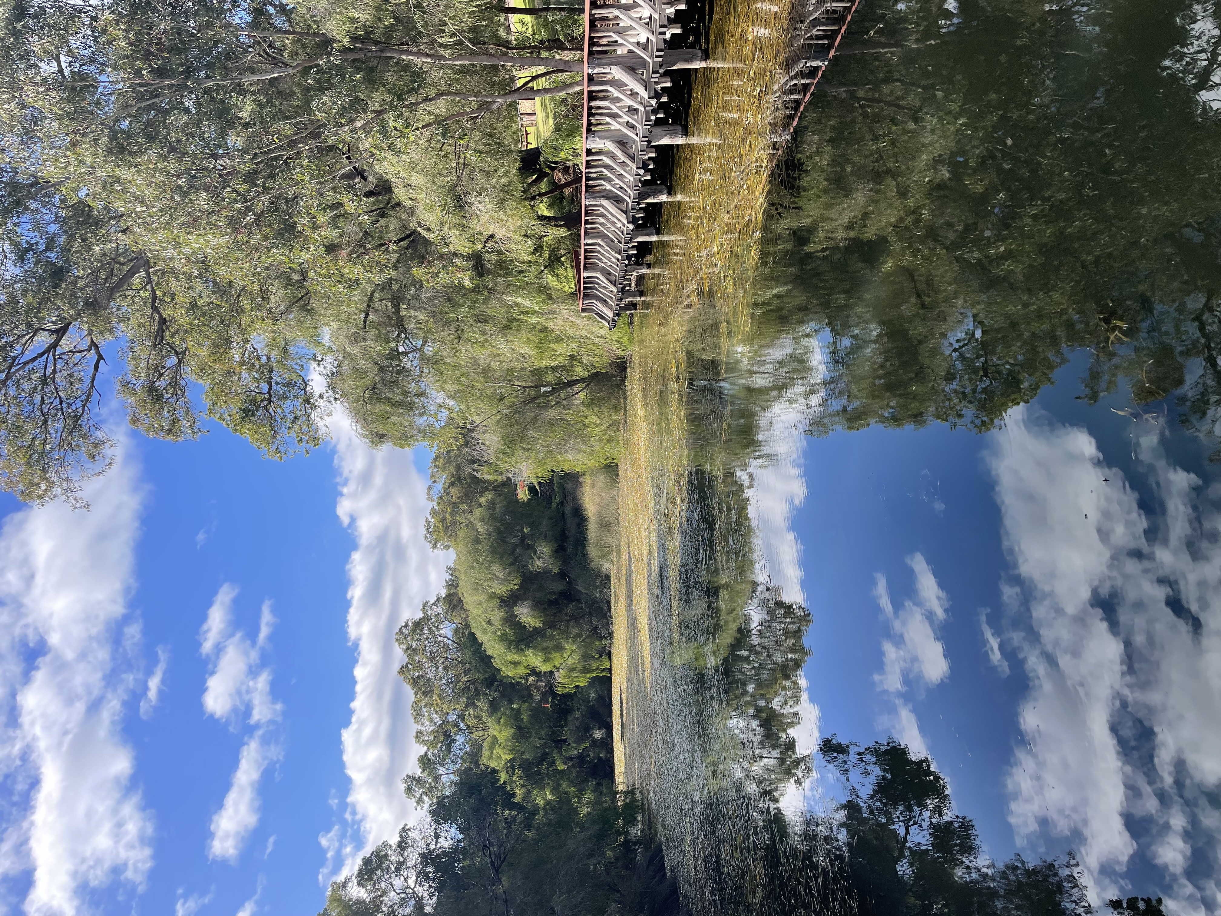
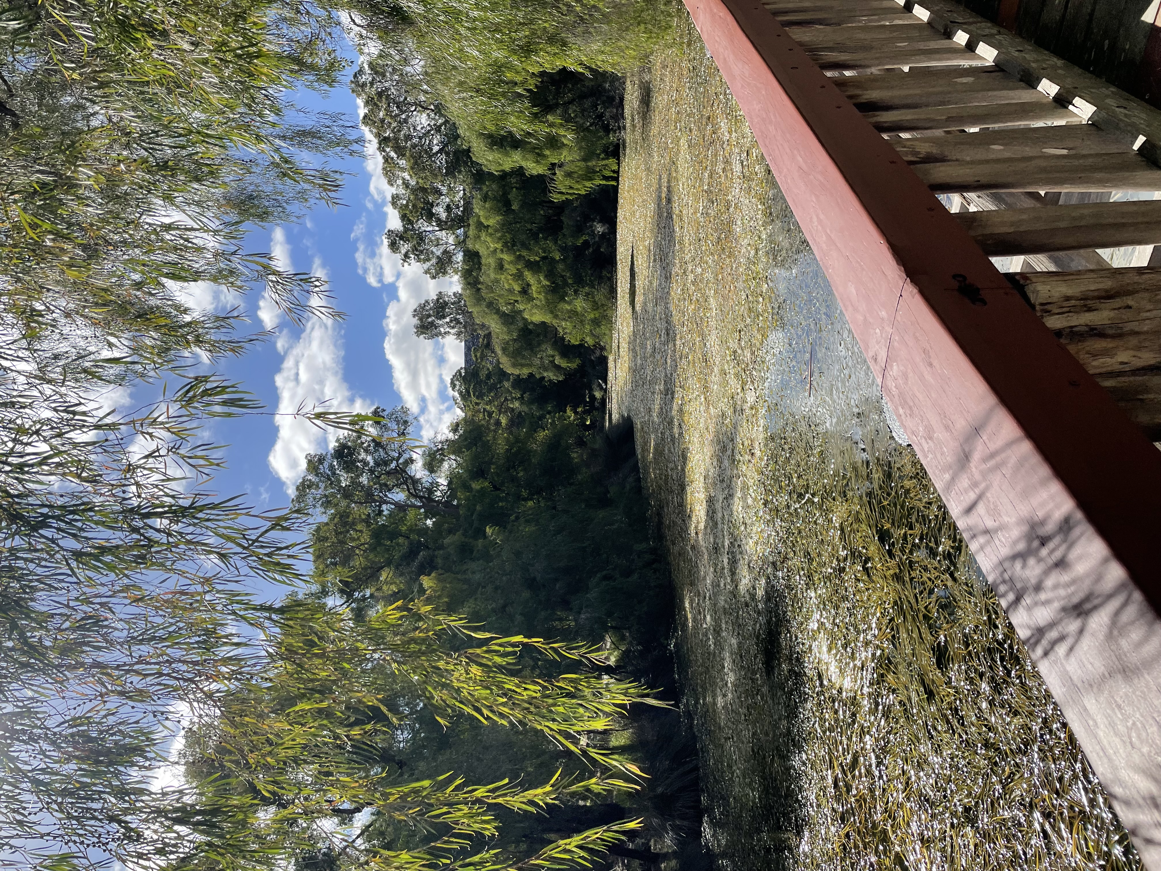
Yoordinggaap (Harvey River) originates on the Darling Plateau and descends the scarp to the Swan Coastal Plain (Department of Water and Environmental Regulation, 2025). River lookout opportunities are most accessible near the Harvey Dam.
Accessibility
carparkdisability parkinghard surface path
Activities
bird watchingmountain bikingnature photographywalking
Astrophotography potential
No Astrophotography Potential
Astrophotography grade
None
Facilities
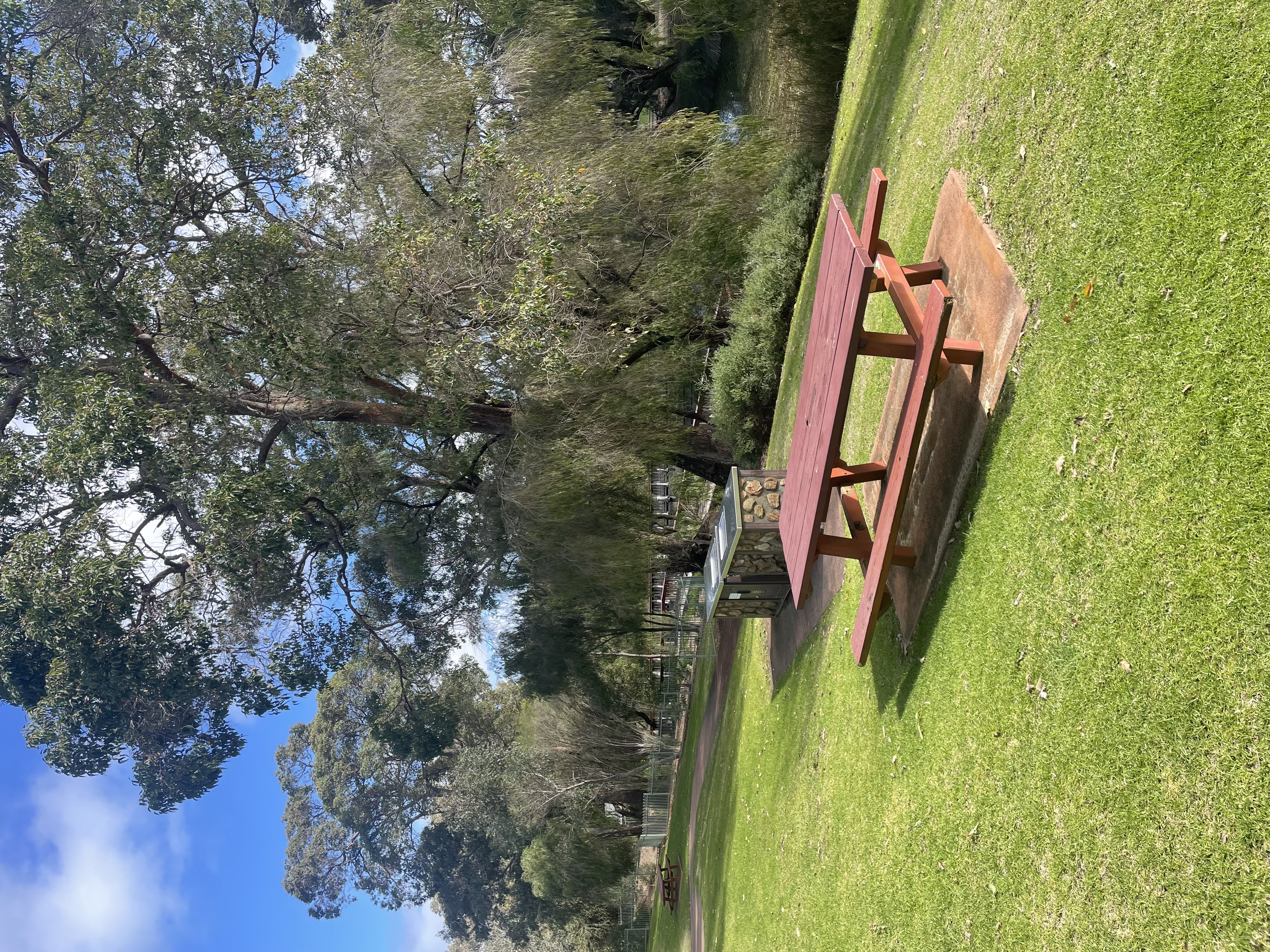
bbqcampsitecaravan parkgrass areanightime lightingpicnic areatoiletviewing platform
Way finding
No Way Finding Support
Address
Location
Harvey Dam, Harvey, Western Australia, AUS
Entry road
Sealed Road (Bi-Directional)
Car park distance (m)
20
Entry fee
No
Infrastructure grade
10
Natural amenity
7
Plumbed infrastructure
Yes
Visible powerlines
No
Coordinates (lat, lng)
-33.079, 115.928
Food & drink
Harvey River Estate, Vineyard 28, Fifth Estate Wines
Tours & experiences
Harvey River Ramble, Harvey Wildflower Ridge Walk, Harvey Dam Walk Loop
Site Highlights
You may also want to know...
- Yoordinggaap (Harvey River) originates on the Darling Plateau and descends the scarp to the Swan Coastal Plain (Department of Water and Environmental Regulation, 2025).
- River lookout opportunities are most accessible near the Harvey Dam.
Biotic features
Flora: The Harvey River delta supports a riparian woodland dominated by Casuarina obesa, Eucalyptus rudis, and Melaleuca rhaphiophylla. However, following the opening of the Dawesville Channel, these trees have exhibited a consistent decline in canopy health over a four-year period. This degradation is most likely attributed to shifts in the estuarine salinity balance caused by the altered hydrology. Remnants of dead trees are still visible across the delta. Since 1994, samphire flats and sedgelands have expanded across the landscape, reshaping the wetland environment.
Fauna: The Summer 2021 Shorebird Survey recorded 2,574 individual birds from 34 species. Bottlenose dolphins are frequently observed navigating through the delta and up into the Harvey River. There is also regular evidence of native fauna, including Rakali and Western Grey Kangaroos, which make use of the Samphire-dominated marshes. Various crustaceans such as yabbies (Cherax spp.), mud crabs (Scylla spp.), and prawns inhabit the estuary. Bivalves and gastropods, including native oysters and snails, are also common and contribute to the estuary’s ecology.
Abiotic features
The Harvey River extends for approximately 80km from its headwaters to its confluence with the estuary. Flowing northwards, it enters the estuary through a broad, shallow crow’s foot delta and serves as the primary river discharging into the Harvey Estuary. Originating on the Darling Plateau, the river descends the scarp to the Swan Coastal Plain. On the plain, the Harvey Diversion Drain channels part of its flow directly to the ocean. Downstream of the diversion drain junction, the Harvey River, along with its three main tributaries, discharges into the Peel–Harvey Estuary. Future projections indicate a decline in flow across the system, with climate modelling predicting a reduction in mean annual runoff for the Harvey–Preston region of between 7% and 40% by 2030 compared to 1975–2007 levels (CSIRO, 2009)
Cultural aspects
Between 1948 and 2001, water was used for irrigation, resulting in large volumes being released from the dam in summer to meet irrigation needs and for recreational canoeing between 1979 and the late 1990s. In 2001 the primary use changed from irrigation to public water supply, and pipes were used to transport water, leading to a reduction in summer flows.