Bindjareb-Peel Geo Park Guide
Boundary and Channel Island
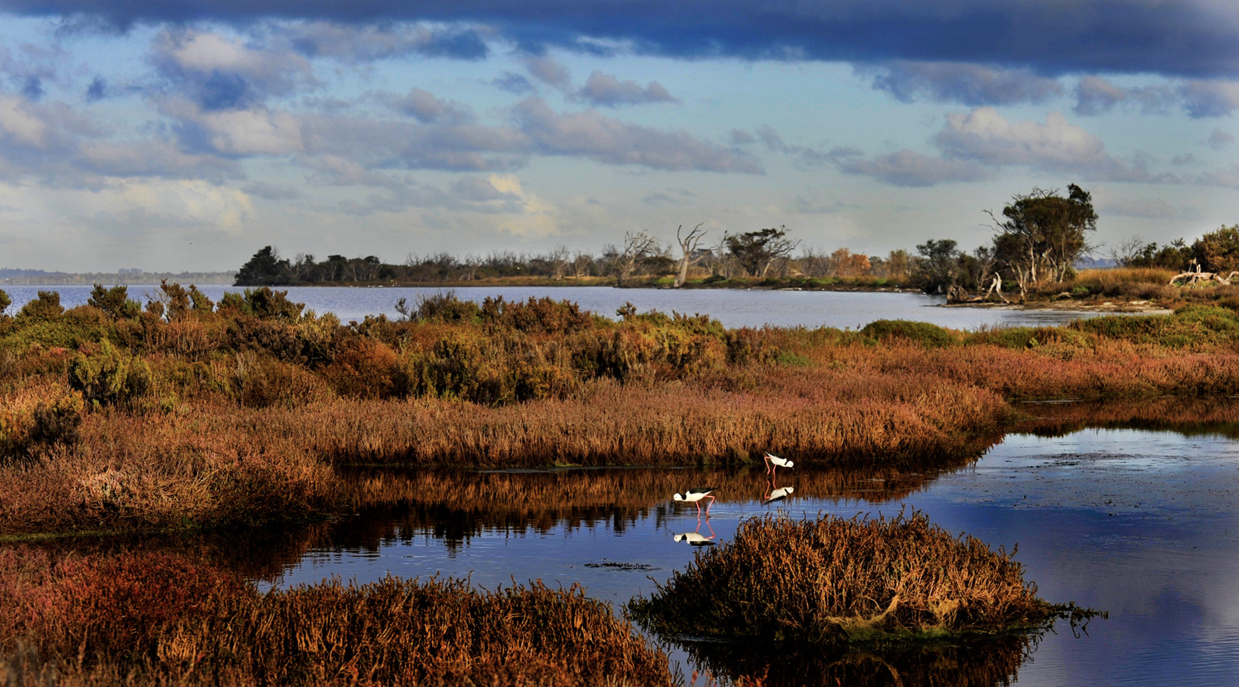
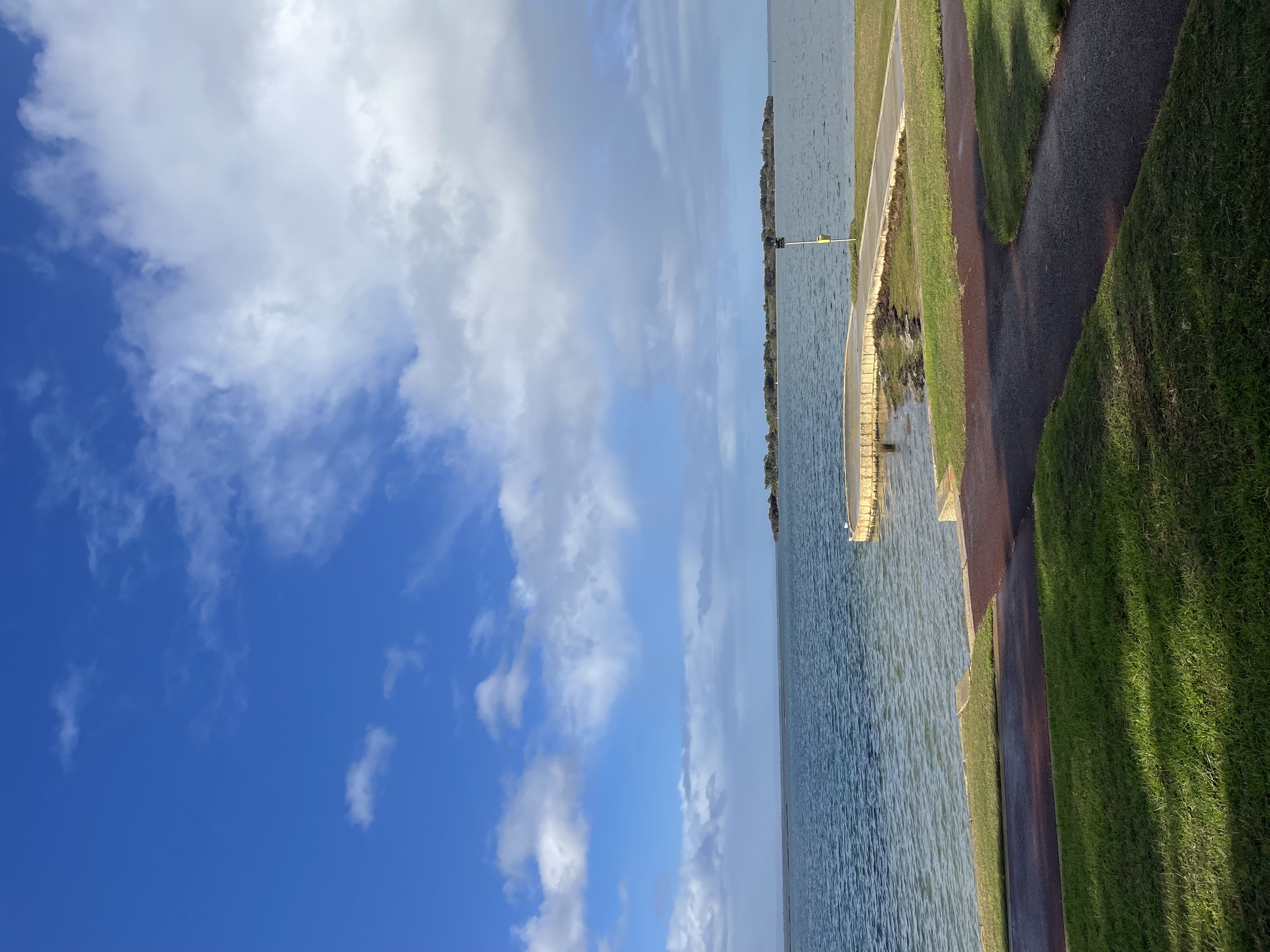
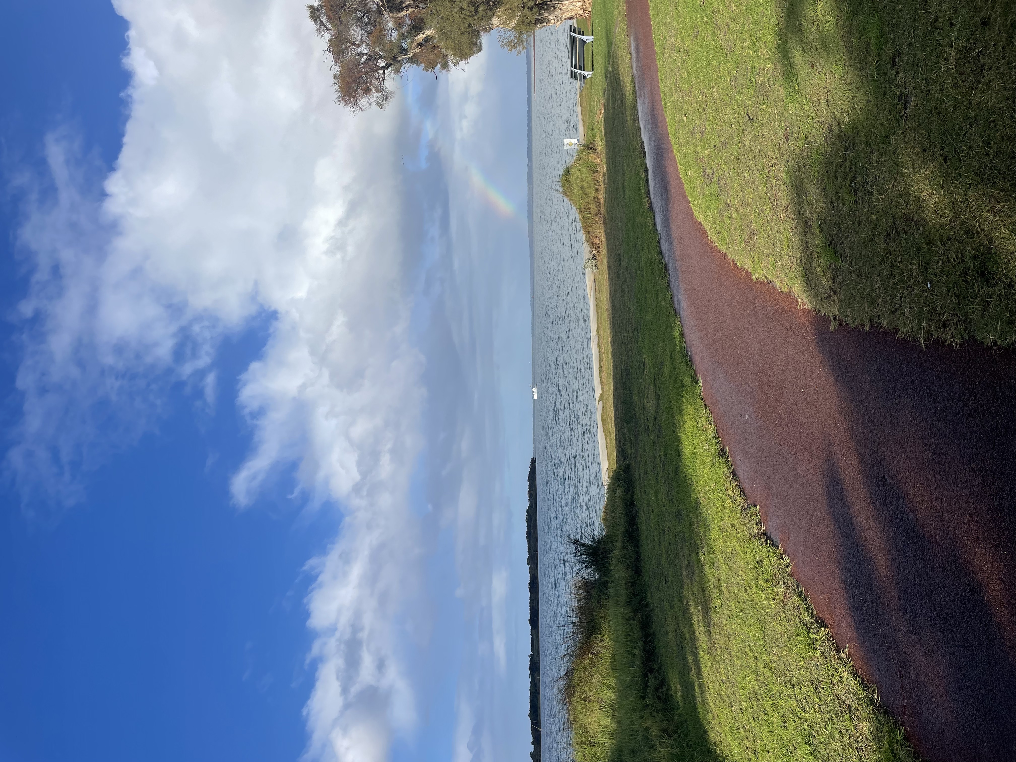
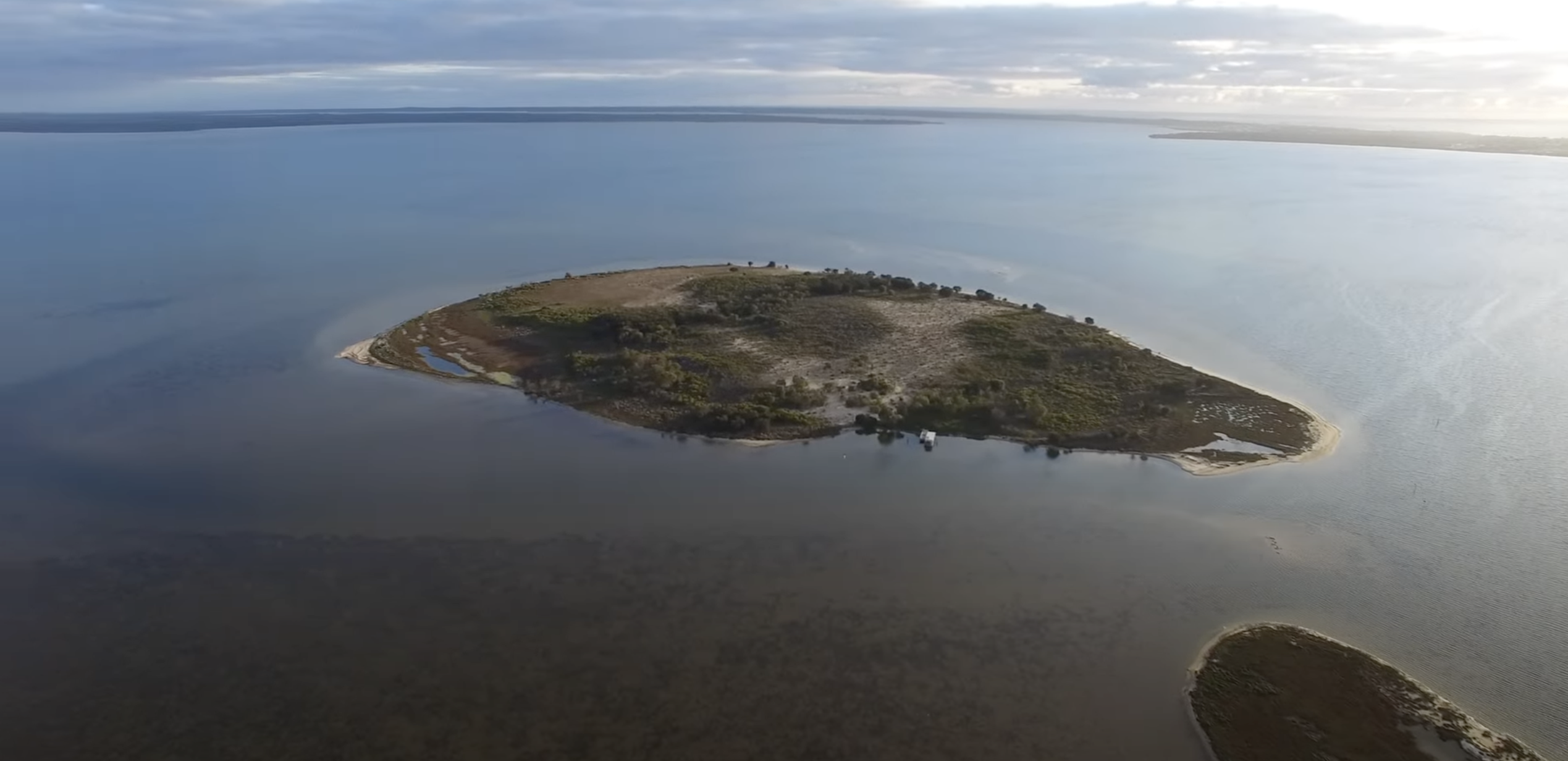
Boundary and Channel Island Lookout is situated on the Northern border of Len Howard Reserve Foreshore. Boundary and Channel Island are bordered by Sticks Channel to the South and Mandurah Channel to the West within the Peel Inlet. The islands are visible from the designated lookout location but accessing the islands on foot requires a boat.
Accessibility
carparkdisability parkinghard surface path
Activities
bird watchingcanoeing kayakingfishingmountain bikingnature photographyswimmingwalking
Astrophotography potential
No Astrophotography Potential
Astrophotography grade
None
Facilities
bike rackcampsitecaravan parkgrass areahotelnightime lightingpicnic areaviewing platform
Way finding
No Way Finding Support
Address
Location
36 Marina Quay Dr, Erskine, Perth, Western Australia, 6210
Indigenous community
Bindjareb people - part of the Noongar Nation. A site of meetings, trade, and cultural celebrations, with a rich history whereby stories and cultural practices are interwoven with the environment.
Land tenure
Currently managed by the State Government and is known as Unallocated Crown Land
Entry road
Sealed Road (Bi-Directional)
Car park distance (m)
80
Entry fee
No
Infrastructure grade
7
Natural amenity
7
Plumbed infrastructure
No
Visible powerlines
Yes
Coordinates (lat, lng)
-32.561, 115.709
Food & drink
Boundary Island Brewery, The Cray, Redmanna Restaurant
Tours & experiences
Mandurah Estuary Dolphin Tours,
Small-Group Nocturnal Discovery Tour in Mandurah
Site Highlights
You may also want to know...
- Boundary and Channel Island Lookout is situated on the Northern border of Len Howard Reserve Foreshore.
- Boundary and Channel Island are bordered by Sticks Channel to the South and Mandurah Channel to the West within the Peel Inlet.
- The islands are visible from the designated lookout location but accessing the islands on foot requires a boat.
Biotic features
Flora: Currently, there is a vegetative mix of natives and weeds, established with plantings of native wetland vegetation since 1987. Extensive saltmarshes dominate the lower, tidal edges of both islands. These areas are typically covered with salt-tolerant plants such as samphire species (Tecticornia spp.) and other chenopods. These halophytic shrubs and succulent herbs play a critical role in stabilizing sediments and providing habitat for estuarine fauna.
Fauna: Boundary Island and surrounding sand bars are a focus of occurrence by a suite of migratory shorebirds (e.g. plovers, knots, godwits) that were not regularly recorded elsewhere in the estuary. Nesting pied oyster catchers, osprey, and other waterbirds are regularly observed on the island. Historically, the increased tidal range resulted in more frequent inundation of Nirima Cay, a former a nesting site to Australian pelicans. Hence, Boundary Island a major nesting site for a diverse variety of waterbirds. The site is subject to frequent disturbance by people (boating, camping, dogs), which have the potential to disrupt the ecological dynamics of breeding birds. DBCA officers confirm the site holds conservation value, being a haven for migratory bird feeding.
Abiotic features
Boundary Island was created from dredge spoil from when Sticks channel was enlarged in 1987. Boundary Island is 25 hectares and 5m above sea level. Boundary and Channel Island primarily consist of estuarine and coastal sediments, including sandy sediments derived from coastal dune systems and river deposits. Silty clay sediments from fine particles were deposited by the Peel and Murray Rivers along with tidal movements.